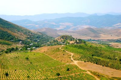
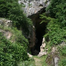
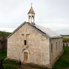
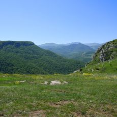
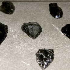
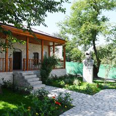
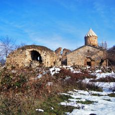
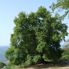
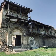
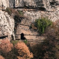
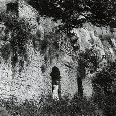
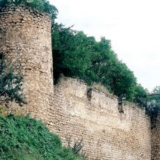
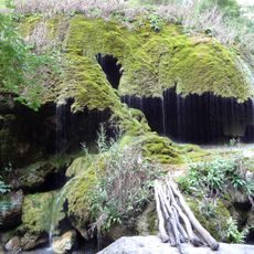
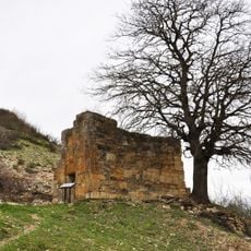
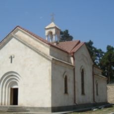
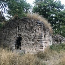
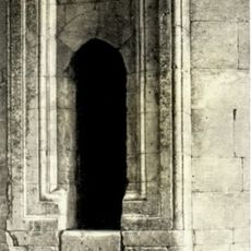
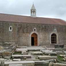
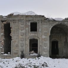
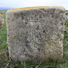
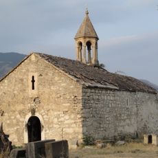
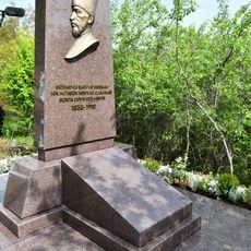
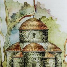
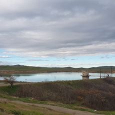
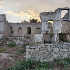
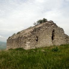
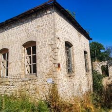
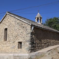
Sos, village in the Khojavend District of Azerbaijan
Location: Khojavend District
Elevation above the sea: 675 m
GPS coordinates: 39.71278,47.00917
Latest update: March 30, 2025 22:49
Azykh Cave
10.6 km
Amaras Monastery
5.2 km
Jidir Plain
21.9 km
Tağlar Cave
12.6 km
House-Museum of Bulbul
22.2 km
Gtichavank
14.4 km
Vagif Mausoleum
22 km
Tnjri
5.5 km
Tugh's Melikian Palace
14.7 km
Shusha Cave camp
21.9 km
Ibrahim Khalil Khan palace
22 km
Palace of Garaboyuk khanum
22.2 km
Çətir waterfall
21.5 km
Bri church
15.8 km
Church of St. Nerses the Great
12.5 km
Bovurkhan Monastery
15.6 km
Mirali Mausoleum
16.3 km
St. Hovhannes Church
14.7 km
Haji Alakbar Mosque
17.5 km
Nargiztapa
22 km
Spitak Khach church
22.2 km
Gravestone of Mir Mohsun Navvab
21.9 km
Okhti Drni
19.2 km
Ashaghy Kondalanchay reservoir
19.1 km
Chukhur Mahalla Mosque
22.2 km
Kavakavank
13.8 km
Seyidli Mosque
22.1 km
Holy Resurrection Church
21.5 kmReviews
Visited this place? Tap the stars to rate it and share your experience / photos with the community! Try now! You can cancel it anytime.
Discover hidden gems everywhere you go!
From secret cafés to breathtaking viewpoints, skip the crowded tourist spots and find places that match your style. Our app makes it easy with voice search, smart filtering, route optimization, and insider tips from travelers worldwide. Download now for the complete mobile experience.
A unique approach to discovering new places❞
— Le Figaro
All the places worth exploring❞
— France Info
A tailor-made excursion in just a few clicks❞
— 20 Minutes