Khojavend District, Administrative district in western Azerbaijan
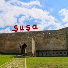
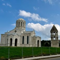
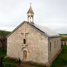
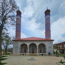
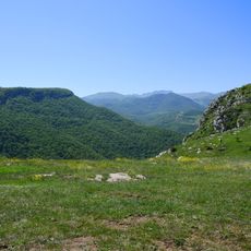
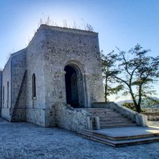
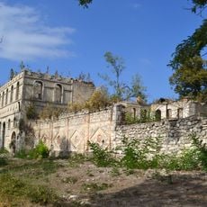
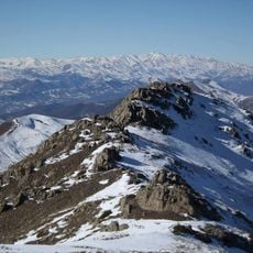
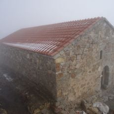
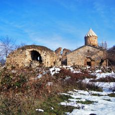
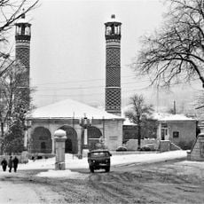
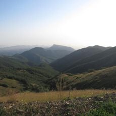
Khojavend District is an administrative area in western Azerbaijan covering terrain that ranges from foothills to mountains rising over 2,700 meters high. The region includes one city, several larger towns, and more than 80 villages spread across this landscape.
The territory formed in the 1990s from the joining of two former administrative areas following major political changes in the region. This combination created the structure that exists today.
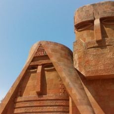
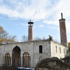
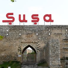
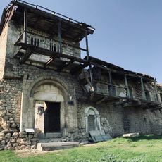
The name comes from the Turkish word 'khoja' meaning teacher, combined with the Persian 'vand' for descendant, a blend reflecting the languages spoken across this land. Visitors walking through towns and villages can see this heritage in how communities are organized and named.
The territory lies around 330 kilometers from the capital, so visitors should plan for a lengthy journey to reach it. The landscape includes hilly and mountainous areas that are accessible on foot, though sturdy shoes and preparation are advisable.
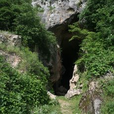
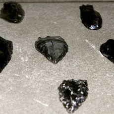
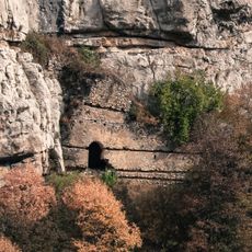
The territory holds notable natural resources including quality stone for quarrying and substantial limestone deposits beneath the ground. Freshwater springs flow underground through this region and have long supplied the settlements here.
The community of curious travelers
AroundUs brings together thousands of curated places, local tips, and hidden gems, enriched daily by 60,000 contributors worldwide.