Azerbaijan–Iran border, separates the territories of Iran and Azerbaijan
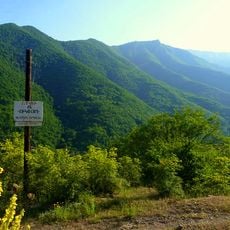
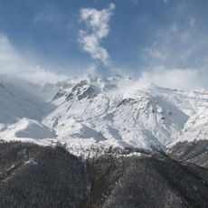
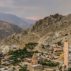
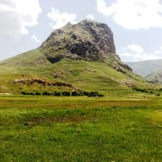
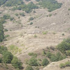
The Azerbaijan-Iran border is a land boundary stretching about 689 kilometers, following natural features such as rivers and mountain ranges. The western section is defined by the Aras River, passing through the Aras reservoir, while the eastern portion crosses the Mugan Plain and then rises through the Talysh Mountains toward the Caspian Sea.
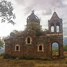
The boundary was established following wars between the Russian Empire and Persia through treaties such as the Treaty of Gulistan and the Treaty of Turkmenchay, which defined the line that remains today. Azerbaijan gained independence in 1918 but was quickly absorbed by the Soviet Union, remaining under Soviet control until 1991, when it regained independence.
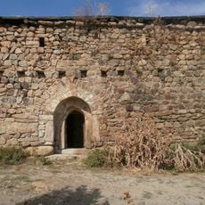
The border region reflects a blend of traditions shaped by families and traders who cross regularly for commerce and personal visits. Local markets near the crossing points reveal daily life on both sides, where people exchange goods and maintain social ties that transcend the political boundary.
Official crossings at Bilasuvar and Astara serve vehicular and pedestrian traffic, with additional checkpoints for rail and road freight transport. Wait times can extend during busy periods, so it is wise to carry valid identification and allow extra time for document checks and potential delays.
The Aras River defines much of this boundary and has been dammed to create a reservoir, making this section geographically distinctive. Additionally, the border is interrupted by a 44-kilometer section adjacent to Armenia, creating a complex geography that reflects the region's intricate geopolitical ties.
The community of curious travelers
AroundUs brings together thousands of curated places, local tips, and hidden gems, enriched daily by 60,000 contributors worldwide.