Enable Location

We need your location to show you interesting places around you

Discover nearby places

Find interesting locations and hidden gems around you

Precise directions

Get accurate directions and distances to places

Your location is never shared with other users. It's only used when you tap the location button.

Khudafarin Dam

Log in to your account

Start exploring — it's free

Trusted by 61,969 travelers worldwide

Continue with Google
Continue with Apple
or

We will send you a code to connect

By continuing, you accept our Terms and Conditions and our Privacy Policy

Check your inbox

We've sent a pincode in your inbox. Please enter the code below.

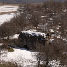
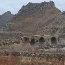
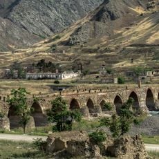
Khudafarin Dam, Embankment dam and hydroelectric station in Khoda Afarin County, Azerbaijan and Iran.

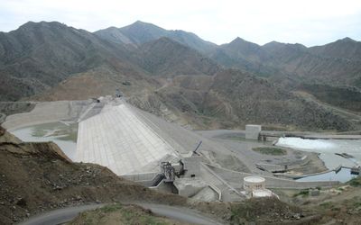
The Khudafarin Dam is a hydroelectric facility spanning 380 meters across the Aras River at the border between Azerbaijan and Iran. The structure rises 64 meters and harnesses the river's flow for both power generation and irrigation purposes.

Construction of the facility began in 1999 following bilateral agreements between Azerbaijan and Iran. The hydroelectric station commenced operations in 2008 and became significant for regional energy supply.

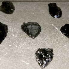
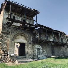
Archaeological excavations during construction revealed Bronze Age sites and a Saka-Scythian warrior grave near the dam location.

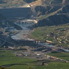
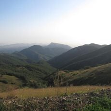
The dam is a cross-border structure visible from both the Azerbaijani and Iranian sides of the Aras River. Visitors should check local access conditions and regulations for this border area before planning a visit.

Archaeological discoveries during construction revealed Bronze Age settlements and a Saka-Scythian warrior burial at the site. These findings show that the region has been inhabited and traveled through for thousands of years.

The community of curious travelers

AroundUs brings together thousands of curated places, local tips, and hidden gems, enriched daily by 60,000 contributors worldwide.

Start exploring
Inception
1988
Official opening
2008
Height
64 m
Length
380 m
GPS coordinates
39.15972,46.93472
Latest update
December 12, 2025 14:27
« Khudafarin Dam - Embankment dam and hydroelectric station in Khoda Afarin County, Azerbaijan and Iran » is provided by Around Us (aroundus.com). Images and texts are derived from Wikimedia project under a Creative Commons license. You are allowed to copy, distribute, and modify copies of this page, under the conditions set by the license, as long as this note is clearly visible.

Discover hidden gems everywhere you go!

From secret cafés to breathtaking viewpoints, skip the crowded tourist spots and find places that match your style. Our app makes it easy with voice search, smart filtering, route optimization, and insider tips from travelers worldwide. Download now for the complete mobile experience.

Around Us App Screenshot

A unique approach to discovering new places

Le Figaro

All the places worth exploring

France Info

A tailor-made excursion in just a few clicks

20 Minutes

Around Us
Travel Guide & Maps
Download

Send to your phone

QR Code
1

Open the camera app on your mobile.

2

Point at the QR code with your camera. A notification will appear.

3

Tap the notification to open the link.