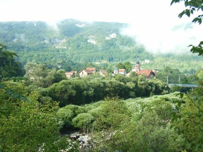
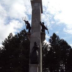
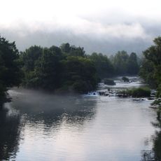
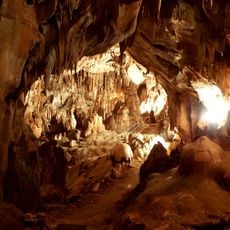
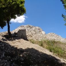
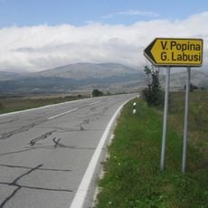
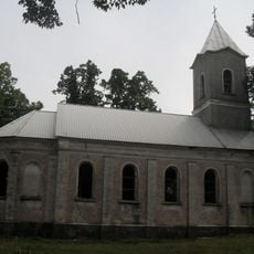
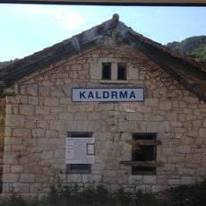
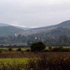
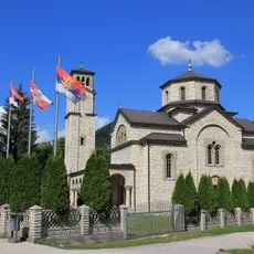
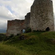
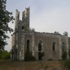
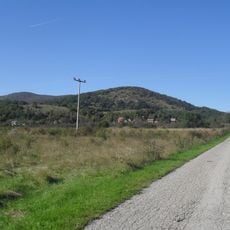
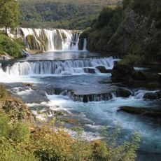
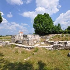
Martin Brod, human settlement in Bosnia and Herzegovina
The community of curious travelers
AroundUs brings together thousands of curated places, local tips, and hidden gems, enriched daily by 60,000 contributors worldwide.
Location
Location
Location
Elevation above the sea
651 m
Part of
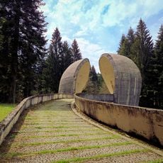
Una National Park
GPS coordinates
44.48883,16.14186
Latest update
March 6, 2026 15:58