
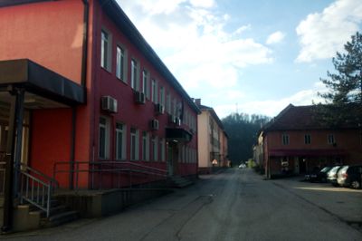
Rudo Municipality, municipality of Bosnia and Herzegovina
Location: Republika Srpska
Capital city: Rudo
Shares border with: Višegrad Municipality, Čajetina Manicipality, Čajniče Municipality, Priboj Municipality, Rogatica Municipality, Novo Goražde
GPS coordinates: 43.64556,19.34361
Latest update: April 9, 2025 22:50
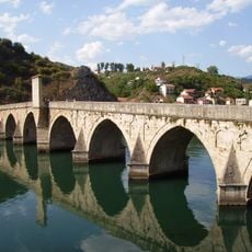
Mehmed Paša Sokolović Bridge
15.9 km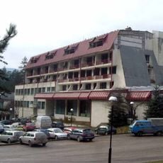
Vilina Vlas
15.9 km
Šargan Eight
22.4 km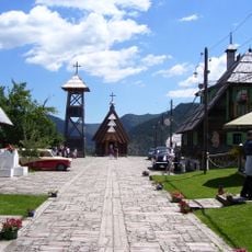
Kustendorf
21.4 km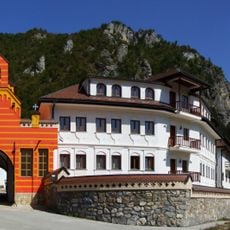
Dobrun Monastery
13.1 km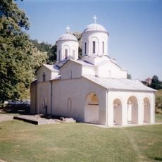
Banja Monastery
21.9 km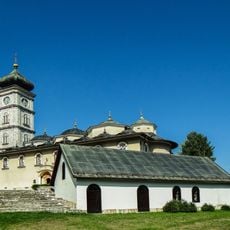
Assumption of Mary Monastery, Čajniče
23.9 km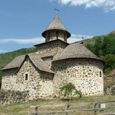
Uvac Monastery
20.1 km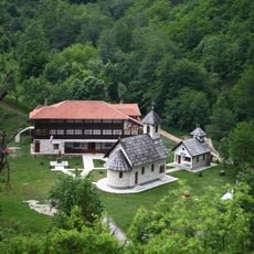
Dobrunska Rijeka Monastery
9 km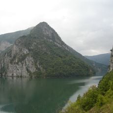
Višegradsko Lake
14 km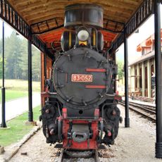
Nature Park "Šargan– Mokra Gora"
22.1 km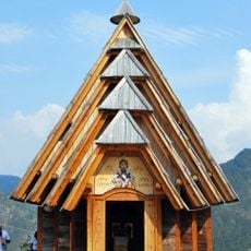
Kirche der Überführung der Reliquien des Hl. Sava
21.3 km
Manastir Vaznesenja Gospodnjeg
15.4 km
Crni vrh
19.2 km
Црква Рођења Пресвете Богородице у Вишеграду
14.4 km
Synagoge
15.8 km
Church of St. Michael the Archangel in Poblaće
16.9 km
Natural area Dobrun-Rzav
12.9 km
Mehmed Paša Sokolović spa
19.5 km
Μοναστήρι του Ευαγγελισμού της Θεοτόκου
11.3 km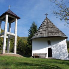
Church of the Intercession of the Virgin in Hercegovačka Goleša
15.9 kmMaison Borisavljević à Priboj
16.2 km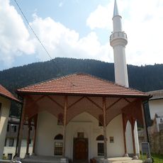
Mir Muhamed mosque
24.2 km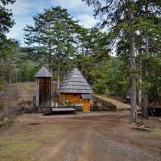
Wooden church in Donja Jablanica
18.7 km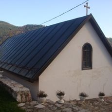
Église de l'Ascension de Čajniče
24 km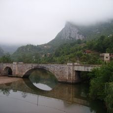
Železniční most v Ustiprači
21.4 kmKršanjska Glavica
22.1 kmPasak Vis
21.5 kmVisited this place? Tap the stars to rate it and share your experience / photos with the community! Try now! You can cancel it anytime.
Discover hidden gems everywhere you go!
From secret cafés to breathtaking viewpoints, skip the crowded tourist spots and find places that match your style. Our app makes it easy with voice search, smart filtering, route optimization, and insider tips from travelers worldwide. Download now for the complete mobile experience.

A unique approach to discovering new places❞
— Le Figaro
All the places worth exploring❞
— France Info
A tailor-made excursion in just a few clicks❞
— 20 Minutes