
Ponor, Höhle in Bosnien und Herzegowina
Location: Federation of Bosnia and Herzegovina
GPS coordinates: 44.13972,18.55972
Latest update: August 21, 2025 23:23
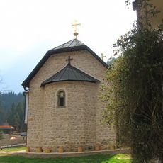
Lovnica Monastery
30.3 km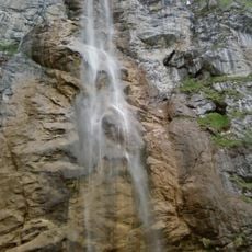
Skakavac Waterfall
23.1 km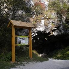
Bijambare
7.5 km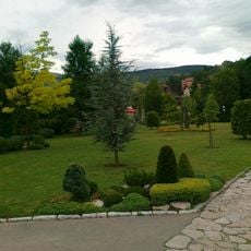
Pionirska dolina
31.5 km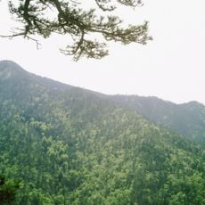
Konjuh
18.1 km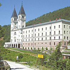
Franciscan friary and church of St John the Baptist, Kraljeva Sutjeska
28.6 km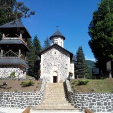
Vozuća Monastery
29.5 km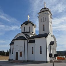
Sokolica Monastery
27.1 km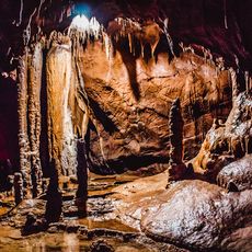
Orlovača cave
28.6 km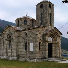
Knežina Monastery
20.6 km
Église Notre-Dame d'Olovo
2.1 km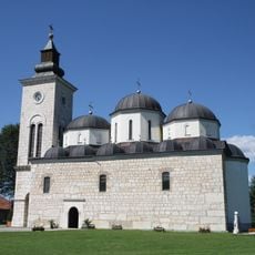
Elijah the Prophet church
30 km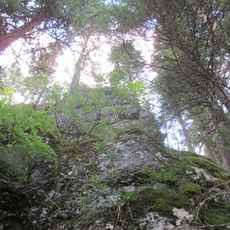
Pošijak
23.4 km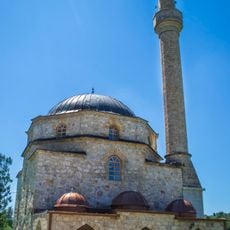
Sultan Selim Mosque (Knežina)
20.8 km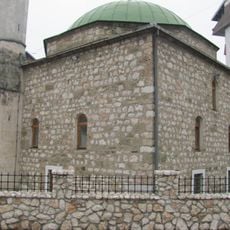
Mosquée de Hadži Bali-bey
14.4 km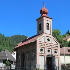
Church of the Intercession in Vareš
18.8 km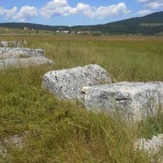
Luburić field necropolis
30.4 km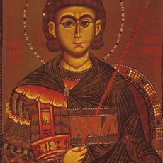
Kirche Hl. Großmärtyrer Prokopios (Breza)
27.3 km
Čemerska Planina
18.6 km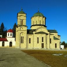
Kirche Hl. Großmärtyrer Pantaleon (Han Pijesak)
31.9 km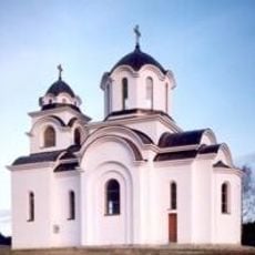
Црква Светог Пантелејмона на Вучијој Луци
24.7 km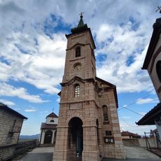
Church of the Holy Apostles Peter and Paul in Vlasenica
30.9 km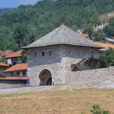
Ploče kula
32.3 km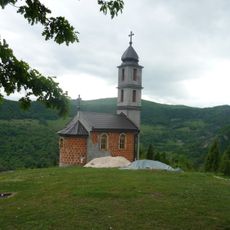
Christi-Himmelfahrts-Kirche (Tupanari)
27.1 km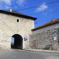
Višegradska kapija
32.2 km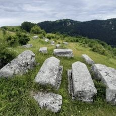
Donji Močioci necropolis
25.7 km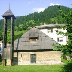
Vieille église Saint-Michel de Vareš
18.8 km
Dariva
32.3 kmReviews
Visited this place? Tap the stars to rate it and share your experience / photos with the community! Try now! You can cancel it anytime.
Discover hidden gems everywhere you go!
From secret cafés to breathtaking viewpoints, skip the crowded tourist spots and find places that match your style. Our app makes it easy with voice search, smart filtering, route optimization, and insider tips from travelers worldwide. Download now for the complete mobile experience.

A unique approach to discovering new places❞
— Le Figaro
All the places worth exploring❞
— France Info
A tailor-made excursion in just a few clicks❞
— 20 Minutes