Brahmanbaria District, Administrative district in Chattogram Division, Bangladesh
Brahmanbaria is an administrative district in Chattogram Division, situated between the Meghna River and the Indian border, spanning roughly 1,881 square kilometers. The territory divides into nine administrative subdivisions known as Upazilas, each serving as centers for local governance and economic activity.
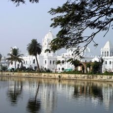
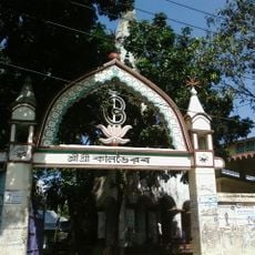
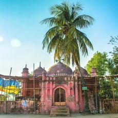
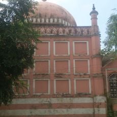
The district separated from Comilla District in 1984 as a distinct administrative entity, building on centuries of governance under successive powers including the Sen dynasty, the Mughals, and British colonial rule. These different periods shaped the administrative frameworks and settlement patterns that remain visible today.
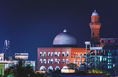
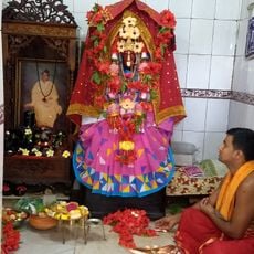
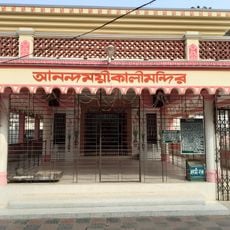
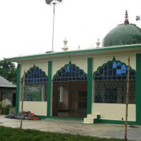
The district keeps alive traditional Bengali performance styles like Jarigan and Baulgan, which feature prominently in local celebrations and community gatherings. These art forms reflect the daily spiritual and social life of the Muslim and Hindu communities that have coexisted in this region.
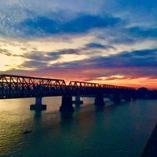
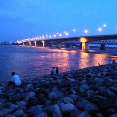
The district connects to major transportation networks through Akhaura railway junction, which links the eastern regions of Bangladesh with the capital city Dhaka. Travelers can use these routes to reach the area and move between its various local centers and towns.
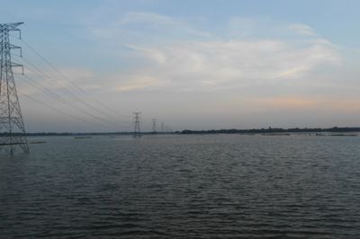
The Titas gas field, located within this district, operates as Bangladesh's largest natural gas extraction facility and plays a crucial role in meeting the country's energy needs. This infrastructure stands as a major economic driver for both the region and the nation.
The community of curious travelers
AroundUs brings together thousands of curated places, local tips, and hidden gems, enriched daily by 60,000 contributors worldwide.