Tangail District

Log in to your account

AroundUs is a community-driven map of interesting places, built by curious explorers like you. It grows with every review, story, and photo you share.
Connect to save your favorite spots, contribute locations, and create personalized routes.
Continue with Google
Continue with Apple
Continue with X
Continue with Facebook
Continue with email
By continuing, you accept our Terms and Conditions and our Privacy Policy
Create an account
Add to collection
Map
Suggest a change
Share

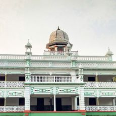
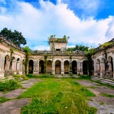
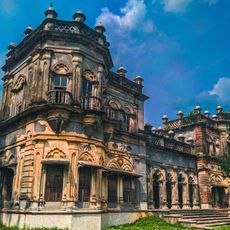
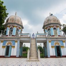
Tangail District, Administrative district in Dhaka Division, Bangladesh

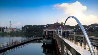
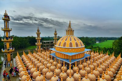
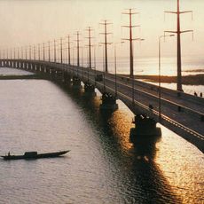
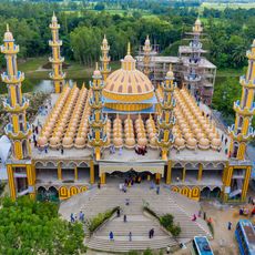
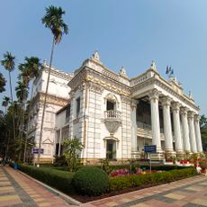
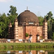
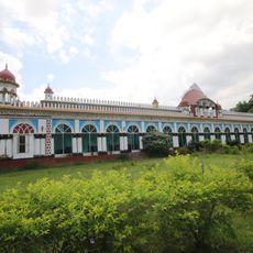
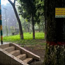
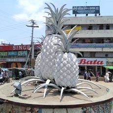
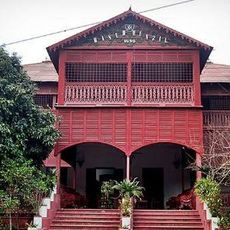
Tangail District is an administrative district in Dhaka Division located in central Bangladesh, characterized by rivers and flat agricultural land. The territory includes multiple towns and thousands of villages spread across cultivated fields and waterways.

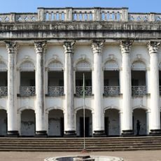
The district was established as an independent administrative unit in 1969 when it separated from the former Mymensingh region. This administrative reform allowed better management of the growing population and economic activities in the area.

The district is known for its weaving tradition, where artisans create Tangail Sarees using hand looms and techniques passed down through families for generations. These garments hold cultural importance across South Asia and reflect the creative skills that define the local community.

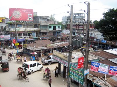
Visitors can explore the district by road using buses, cars, or motorcycles that regularly travel between towns and villages. Local markets and workshops are easily accessible, allowing travelers to experience daily life and economic activities firsthand.

Tangail Sarees are sought after worldwide and produced by thousands of weavers who have developed their skills through family workshops and larger production centers. This handcraft has remained largely unchanged for decades and continues to be a major economic driver in the region.

Location: Dhaka Division

Inception: 1969

Capital city: Tangail

Shares border with: Sirajganj District, Jamalpur District, Mymensingh District, Gazipur District, Dhaka District, Manikganj District

Website: http://tangail.gov.bd

GPS coordinates: 24.30000,89.92000

Latest update: December 14, 2025 18:35

Photos
Reviews

Visited this place? Tap the stars to rate it and share your experience / photos with the community! Try now! You can cancel it anytime.

« Tangail District - Administrative district in Dhaka Division, Bangladesh » is provided by Around Us (aroundus.com). Images and texts are derived from Wikimedia project under a Creative Commons license. You are allowed to copy, distribute, and modify copies of this page, under the conditions set by the license, as long as this note is clearly visible.

Discover hidden gems everywhere you go!

From secret cafés to breathtaking viewpoints, skip the crowded tourist spots and find places that match your style. Our app makes it easy with voice search, smart filtering, route optimization, and insider tips from travelers worldwide. Download now for the complete mobile experience.

Around Us App Screenshot

A unique approach to discovering new places

Le Figaro

All the places worth exploring

France Info

A tailor-made excursion in just a few clicks

20 Minutes