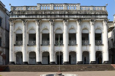
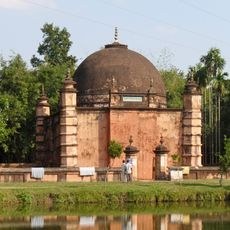
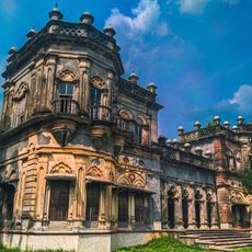
Baliati Palace, Colonial palace in Saturia Upazila, Bangladesh
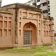
Baliati Palace is a sprawling residential complex consisting of four separate building blocks, each with its own entrance gatehouse. The architecture blends European colonial features with traditional Indian design elements across the expansive grounds.
The palace was built in the 19th century by a family that traced its rise to power to a merchant who gained feudal control of the surrounding lands generations earlier. The construction reflected the wealth and influence the family had accumulated over time.
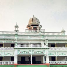
The palace family invested in education and local development, establishing schools and institutions that shaped the region. Their influence extended beyond the estate walls into the surrounding communities of the district.
The site is easily accessible by bus from Dhaka and requires time to explore all four building blocks and surrounding grounds. Plan for several hours to walk through the different sections and courtyards at a comfortable pace.
The three entrance gateways display matching architectural details, suggesting deliberate and symmetrical planning in the complex's design. This consistency across such a large site shows careful attention to detail in its creation.
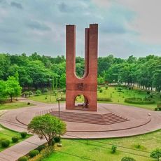
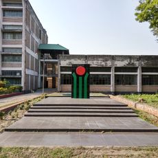
The community of curious travelers
AroundUs brings together thousands of curated places, local tips, and hidden gems, enriched daily by 60,000 contributors worldwide.