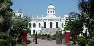
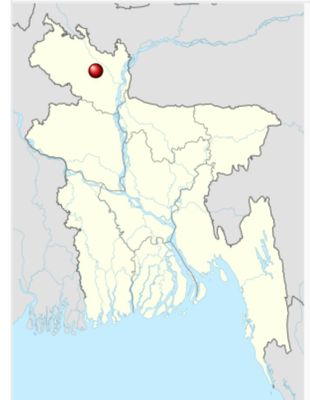
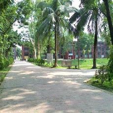
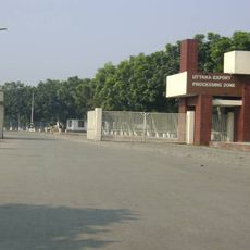
Rangpur, Administrative center in northern Bangladesh.
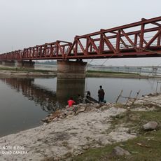
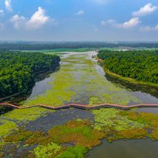
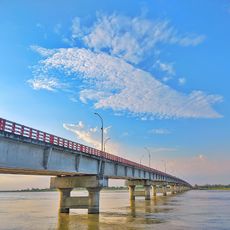
Rangpur is an administrative city in northern Bangladesh situated on the Ghaghot River, with the Teesta River flowing nearby. The rivers have shaped how the city developed and supported the surrounding agricultural landscape that feeds the region.
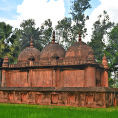
The city became a district administrative center in 1769 and was officially established as a municipality by British authorities a century later. These two developments transformed it into a key administrative hub for the northern region.
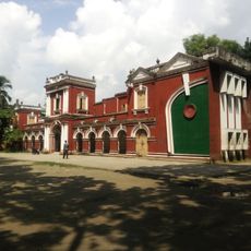
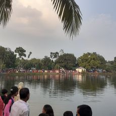
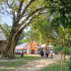
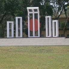
The Town Hall serves as a gathering place where traditional celebrations bring together people from Muslim and Hindu communities throughout the year. These events shape how residents experience their city and connect with one another across different backgrounds.
The city can be reached by major road networks, rail service at the central station, and flights through a nearby airport. These connections make it straightforward to arrive in the city and continue to other parts of the country.
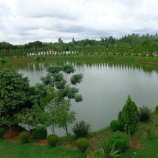
The region is known for growing tobacco in its fertile soil, with crops supplying factories throughout Bangladesh and the surrounding region. This agricultural product shapes the local economy and makes the area a significant production center.
The community of curious travelers
AroundUs brings together thousands of curated places, local tips, and hidden gems, enriched daily by 60,000 contributors worldwide.