Enable Location

We need your location to show you interesting places around you

Discover nearby places

Find interesting locations and hidden gems around you

Precise directions

Get accurate directions and distances to places

Your location is never shared with other users. It's only used when you tap the location button.

Rajshahi District

Log in to your account

Start exploring — it's free

Trusted by 61,443 travelers worldwide

Continue with Google
Continue with Apple
or

We will send you a code to connect

By continuing, you accept our Terms and Conditions and our Privacy Policy

Check your inbox

We've sent a pincode in your inbox. Please enter the code below.

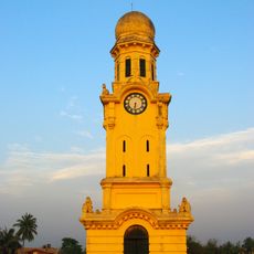
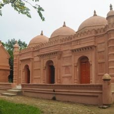
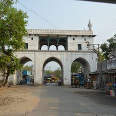
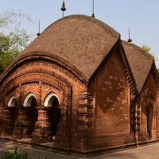
Rajshahi District, Administrative district in Rajshahi Division, Bangladesh.

Description

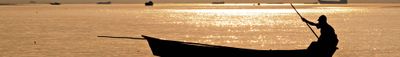
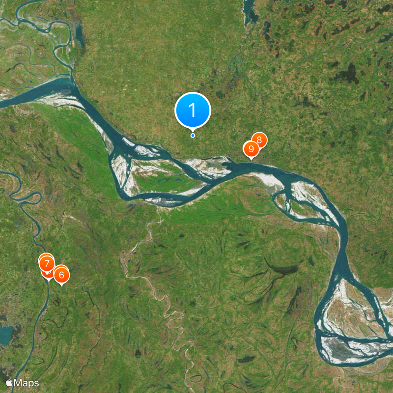
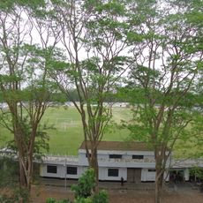
Rajshahi District is an administrative division in Rajshahi Division situated along the north bank of the Padma River, featuring wetlands such as Paltola Beel and Chalan Beel. The district spreads across flat land that opens toward the river, displaying a mix of cultivated fields and natural water bodies.

History

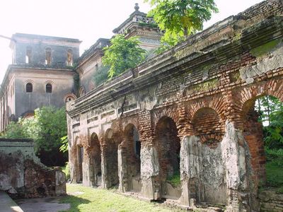
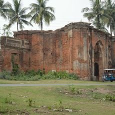
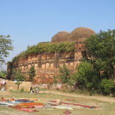
The district was established in 1772 during British rule and later experienced administrative changes as regions like Maldaha, Bogra, and Pabna separated from its jurisdiction. These restructurings reflected evolving colonial administration strategies.

Culture

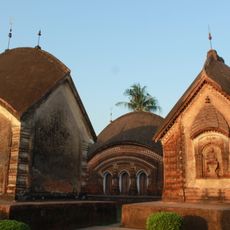
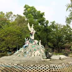
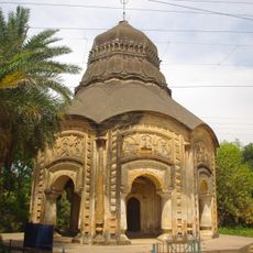
The area preserves traditional Bengali arts through performances of Gamvira songs and Kavigan poetry recitals. These local artistic traditions remain part of everyday cultural life and are practiced during festivals and community gatherings.

Practical

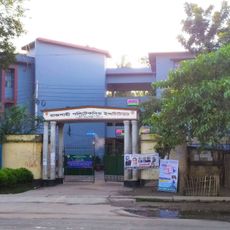
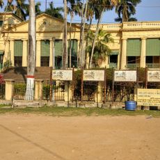
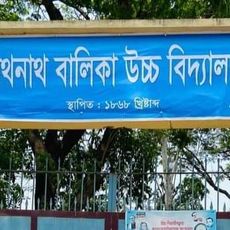
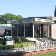
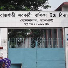
Several colleges and universities including Rajshahi University and Rajshahi Medical College serve as central learning centers and local reference points. These institutions have also shaped local infrastructure and economic activity.

Did you know?

The district has a strong agricultural character, with many residents working in field farming and cultivating local crops. This farming focus shapes the landscape's appearance and the daily work of most people across the area.

Capital city
Rajshahi
Part of
Rajshahi Division
Shares border with
Chapai Nawabganj, Naogaon District, Natore District, Kushtia District
GPS coordinates
24.40000,88.50000
Latest update
December 20, 2025 16:01

AroundUs brings together thousands of curated places, local tips, and hidden gems, enriched daily by 60,000 contributors worldwide. Discover all places nearby (Rajshahi Division).

« Rajshahi District - Administrative district in Rajshahi Division, Bangladesh » is provided by Around Us (aroundus.com). Images and texts are derived from Wikimedia project under a Creative Commons license. You are allowed to copy, distribute, and modify copies of this page, under the conditions set by the license, as long as this note is clearly visible.

Discover hidden gems everywhere you go!

From secret cafés to breathtaking viewpoints, skip the crowded tourist spots and find places that match your style. Our app makes it easy with voice search, smart filtering, route optimization, and insider tips from travelers worldwide. Download now for the complete mobile experience.

Around Us App Screenshot

A unique approach to discovering new places

Le Figaro

All the places worth exploring

France Info

A tailor-made excursion in just a few clicks

20 Minutes

Around Us
Travel Guide & Maps
Download

Send to your phone

QR Code
1

Open the camera app on your mobile.

2

Point at the QR code with your camera. A notification will appear.

3

Tap the notification to open the link.