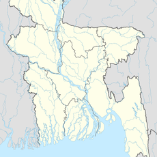
Rajbari District, district in Bangladesh's Dhaka Division
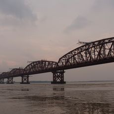
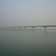
Rajbari is a district within Dhaka Division in Bangladesh, shaped by flat landscapes and several rivers including the Padma, Gorai, and Chitra. Fields and villages spread across the fertile plain, surrounded by calm waterways and green farmland.
The district became a separate administrative unit in 1984, after being part of Jessore and Faridpur before. During the independence war in 1971, locals resisted occupation, and mass graves today recall that period.
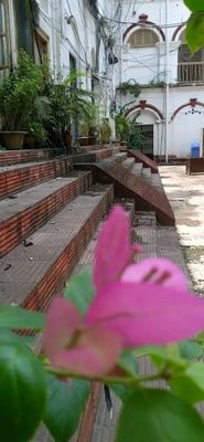
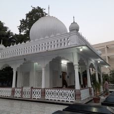
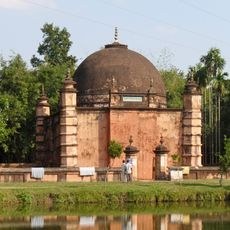
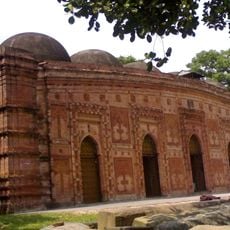
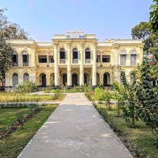
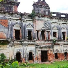
The district's name means palace, recalling the time when kings and landowners lived here. Folk songs like Murshidi and Marfati can still be heard at gatherings, keeping storytelling traditions alive.
Rickshaws and tuk-tuks are easy ways to move from village to village. Markets in the morning provide the best opportunity to see fresh produce and busy local life.
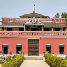
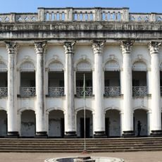
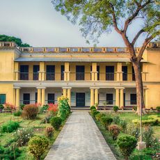
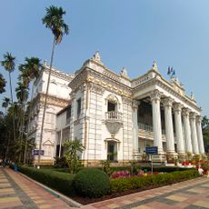
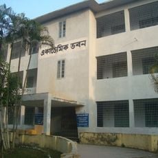
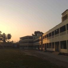
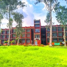
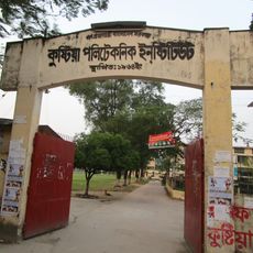
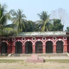
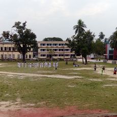
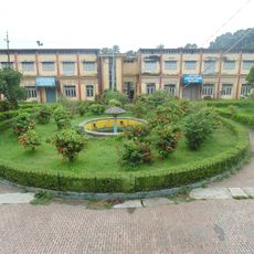
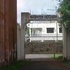
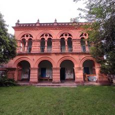
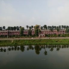
The district's oldest school was founded in 1892 by two brothers who were landowners. The original building still stands, and residents have fought for years to protect it from demolition.
The community of curious travelers
AroundUs brings together thousands of curated places, local tips, and hidden gems, enriched daily by 60,000 contributors worldwide.