
Lalmohan Upazila, Sub district of Bangladesh
Location: Bhola District
Website: http://lalmohan.bhola.gov.bd
Website: http://lalmohan.bhola.gov.bd
GPS coordinates: 22.32110,90.74720
Latest update: March 6, 2025 20:44
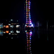
Jakob Tower
15.1 km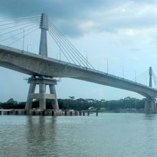
Payra Bridge
45.1 km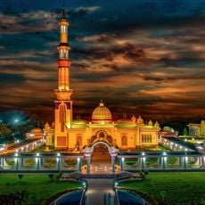
Baitul Aman Mosque
73.3 km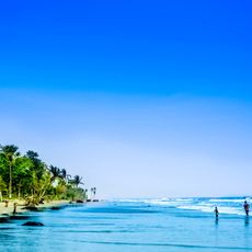
Kuakata Beach
81.9 km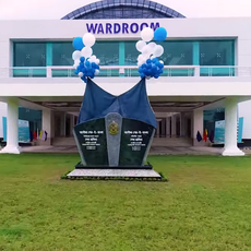
BNS Sher-e-Bangla
59.6 km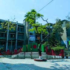
Barisal Polytechnic Institute
57.7 km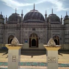
Bazra Shahi Jam-e-Masjid
84.1 km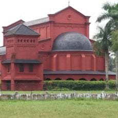
Oxford Mission Church
58.2 km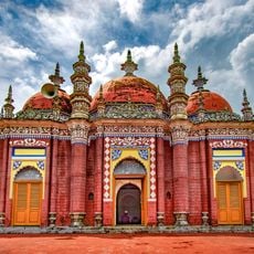
Karapur Miah Bari Mosque
65.1 km
Nijhum Dwip National Park
38.6 km
Char Kukri-Mukri Wildlife Sanctuary
45.3 km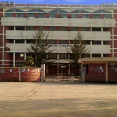
Barguna Polytechnic Institute
69.9 km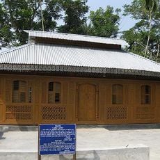
Momin Mosque
83.1 km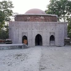
Majidbaria Shahi Mosque
58.6 km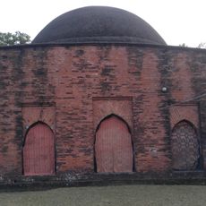
Bibi Chini Mosque
59.4 km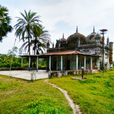
Ramjan Miah Jami Mosque
76.7 km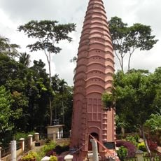
Mahilara Sarkar Math
84.6 km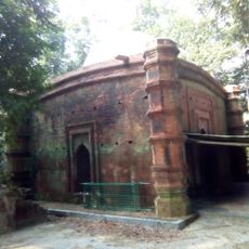
Nasrat Gazi Mosque
40.8 km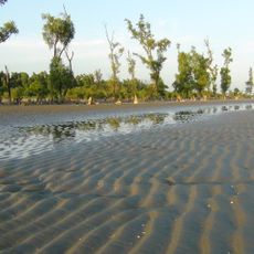
Sonarchar Wildlife Sanctuary
59.2 km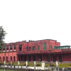
Collectorate Bhaban, Barishal
57.3 km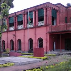
Barisal Divisional Museum
57.2 km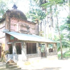
Galua Paka Mosque
68.7 km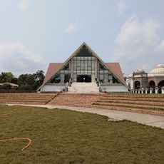
স্বাধীনতা জাদুঘর ভোলা
31 km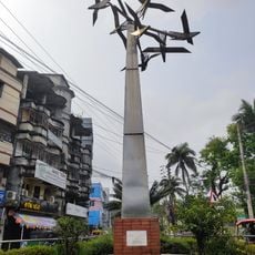
Bijoy Bihongo Sculpture
57.3 km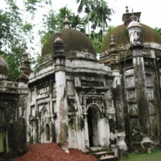
Khanbari Old Jami Mosque Complex
76.3 km
Dashina
20.6 km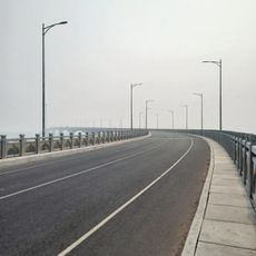
The 8th Bangladesh-China Friendship Bridge
79 km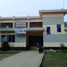
Upazila Livestock Development Center
74.3 kmReviews
Visited this place? Tap the stars to rate it and share your experience / photos with the community! Try now! You can cancel it anytime.
Discover hidden gems everywhere you go!
From secret cafés to breathtaking viewpoints, skip the crowded tourist spots and find places that match your style. Our app makes it easy with voice search, smart filtering, route optimization, and insider tips from travelers worldwide. Download now for the complete mobile experience.

A unique approach to discovering new places❞
— Le Figaro
All the places worth exploring❞
— France Info
A tailor-made excursion in just a few clicks❞
— 20 Minutes