
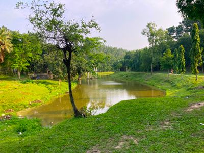
Jhenaigati Upazila, upazila in Mymensingh Division, Bangladesh
Location: Sherpur District
Capital city: Djhenigayti
Elevation above the sea: 25 m
Website: http://jhenaigati.sherpur.gov.bd
GPS coordinates: 25.18330,90.06670
Latest update: March 3, 2025 21:38

Mahasthangarh
77.1 kmNokrek National Park
39.3 km
Balpakram National Park
77.3 km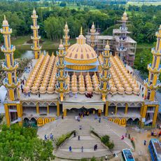
201 Dome Mosque
67.9 km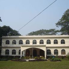
Zainul Abedin Museum
56.7 km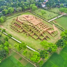
Gokul Medh
78.6 km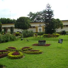
Archaeological Museum, Mohasthangarh
76.9 km
Madhupur National Park
54.3 km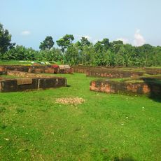
Palace of Parshuram
78.4 km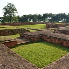
Vasu Vihara
80.7 km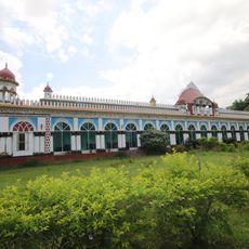
Dhanbari Nawab Palace
57.7 km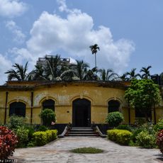
Mymensingh Museum
58.1 km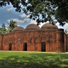
Kherua Mosque
87.8 km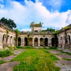
Hemnagar Zamindar Bari
72.1 km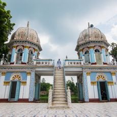
Dhanbari Mosque
57.6 km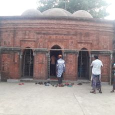
Sura Mosque
86.4 km
Sindurmati Dighi
89.2 km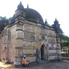
Ghagra Khan Bari Jami Mosque
8.4 km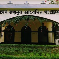
Shilpacharya Zainul Abedin Sangrahashala
56.7 km
Koteshwar Shiva Mandir
90.9 km
Shah Abdul Hamid Stadium
54.9 km
Stone Siva Temple
60.2 km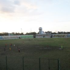
Netrakona Stadium
74.1 km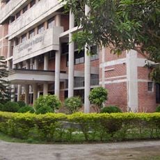
Kurigram Polytechnic Institute
81.5 km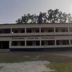
Singerdabri Hat Ml High School & College
89.2 km
BAU Agriculture Museum
63.2 km
Bijayangan Museum বিজয়াঙ্গন মুক্তিযুদ্ধ যাদুঘর
82.3 km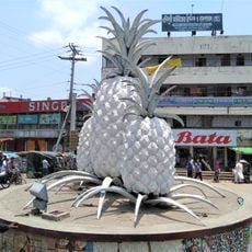
Anarosh Chottor
64.3 kmVisited this place? Tap the stars to rate it and share your experience / photos with the community! Try now! You can cancel it anytime.
Discover hidden gems everywhere you go!
From secret cafés to breathtaking viewpoints, skip the crowded tourist spots and find places that match your style. Our app makes it easy with voice search, smart filtering, route optimization, and insider tips from travelers worldwide. Download now for the complete mobile experience.

A unique approach to discovering new places❞
— Le Figaro
All the places worth exploring❞
— France Info
A tailor-made excursion in just a few clicks❞
— 20 Minutes