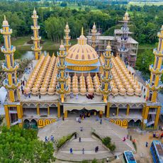
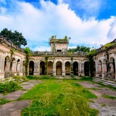
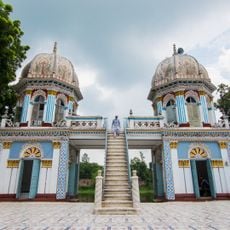
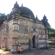
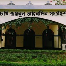
Sherpur District, Administrative district in Northern Bangladesh.
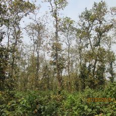
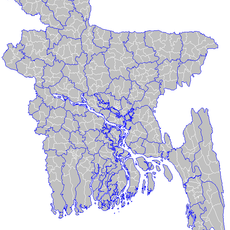
Sherpur District is an administrative division in northern Bangladesh composed of five subdivisions that together form its administrative structure. The terrain varies from flat lands in the southern areas to hilly regions that rise toward the northeast and the Indian border.
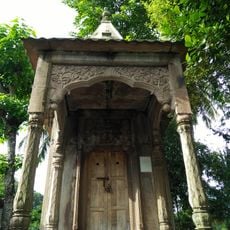
The region was originally known as Gara Jaripara and took its present name during the Nawabi period after a local landholder named Sher Ali Gazi. It became a separate administrative division in 1984.
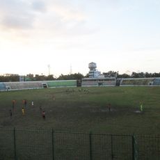
Local music traditions like Bhatiyali, Jarigan, and Sarigan songs remain part of everyday celebrations and community moments throughout the region.
The district is divided into five subdivisions, with Sherpur Sadar being the largest and central administrative hub. Visitors navigate best by keeping the varied geography in mind: flat areas in the south offer easier travel, while northern hills require more challenging routes.
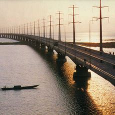
An earthquake in 1897 permanently changed the course of the Brahmaputra River and reshaped the entire landscape of the region. This event remains a rare example of how a single natural occurrence transformed the physical geography across such a large area.
Location: Mymensingh Division
Capital city: Sherpur
Shares border with: Jamalpur District, Mymensingh District
Website: http://sherpur.gov.bd
GPS coordinates: 25.00000,90.00000
Latest update: December 7, 2025 19:22
Jamuna Bridge
70.3 km
Mahasthangarh
66.5 kmNokrek National Park
60.5 km
201 Dome Mosque
46.5 km
Zainul Abedin Museum
47.4 km
Bhabanipur Shaktipith
76.2 km
Tangail Polytechnic Institute
81.1 km
Gokul Medh
67.3 km
Archaeological Museum, Mohasthangarh
66.3 km
Madhupur National Park
35.7 km
Palace of Parshuram
67.5 km
Vasu Vihara
70.9 km
Dhanbari Nawab Palace
36.4 km
Mymensingh Museum
48.8 km
Kherua Mosque
70.1 km
Hemnagar Zamindar Bari
50.6 km
Dhanbari Mosque
36.4 km
Jamuna Bridge West Bank Eco-Park
71.5 km
Ghagra Khan Bari Jami Mosque
13.1 km
Kadigarh National Park
80.8 km
Shilpacharya Zainul Abedin Sangrahashala
47.4 km
Baraidaha
72.1 km
Shah Abdul Hamid Stadium
58.5 km
Stone Siva Temple
52.2 km
Netrakona Stadium
74.2 km
BAU Agriculture Museum
53.5 km
Bijayangan Museum বিজয়াঙ্গন মুক্তিযুদ্ধ যাদুঘর
66.5 km
Anarosh Chottor
43.8 kmVisited this place? Tap the stars to rate it and share your experience / photos with the community! Try now! You can cancel it anytime.
Discover hidden gems everywhere you go!
From secret cafés to breathtaking viewpoints, skip the crowded tourist spots and find places that match your style. Our app makes it easy with voice search, smart filtering, route optimization, and insider tips from travelers worldwide. Download now for the complete mobile experience.
A unique approach to discovering new places❞
— Le Figaro
All the places worth exploring❞
— France Info
A tailor-made excursion in just a few clicks❞
— 20 Minutes