
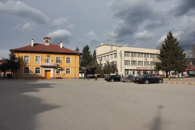
Kostandovo, town in Bulgaria
Location: Rakitovo Municipality
Elevation above the sea: 913 m
GPS coordinates: 42.02353,24.11301
Latest update: March 3, 2025 11:37
Snezhanka
13.9 km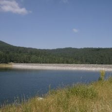
Batak Reservoir
8.7 km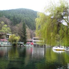
Kleptuza
11.1 km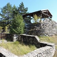
Tsepina
7 km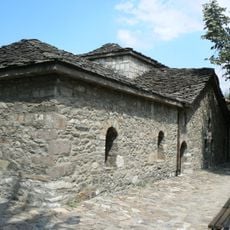
Saint Nedelya Church
12.5 km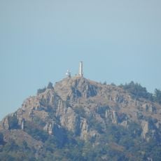
Milevi Skali
11.9 km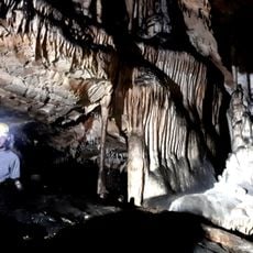
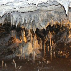
Lepenitsa cave
11.4 km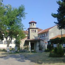
Batkun Monastery
13.1 km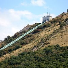
Batak Hydropower Way
12.2 km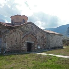
Church of St Demetrius, Patalenitsa
13 km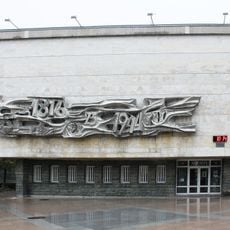
Museum of History
12.5 km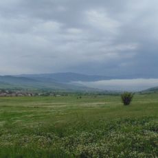
Paleontologichno nahodishte
3.1 km
Alkov kamak
2.5 km
Балинова къща
12.4 km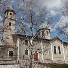
Assumption of Mary Church
10 km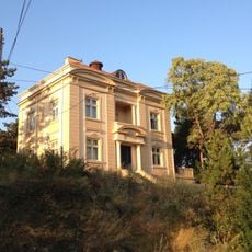
Вила Райна
10.1 km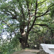
Marina (protected locality)
14.5 km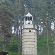
Clock Tower of Rakitovo
4.6 km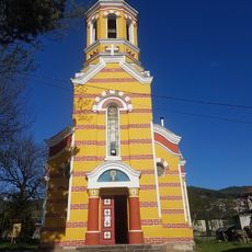
Church of St Elijah
2.7 km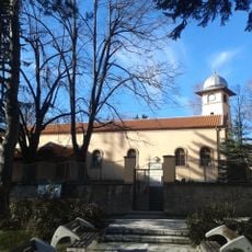
Holy Trinity Church
10.6 km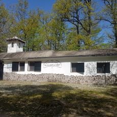
Debrashtitsa Monastery
12.5 km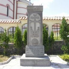
Batak massacre khatchkar
12.4 km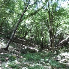
Koritata protected area, Varvara
7.7 km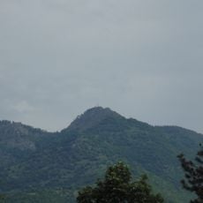
Милеви скали
12.8 km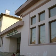
Народно читалище „Св. Пантелеймон-1909“
13.2 km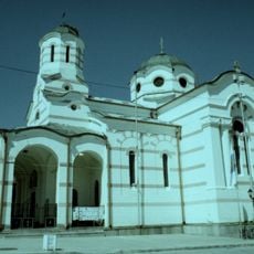
Assumption of Mary church, Batak
12.5 km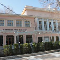
Chitalishte Otets Paisiy
10.2 km
Chitalishte 4th of May
12.5 kmVisited this place? Tap the stars to rate it and share your experience / photos with the community! Try now! You can cancel it anytime.
Discover hidden gems everywhere you go!
From secret cafés to breathtaking viewpoints, skip the crowded tourist spots and find places that match your style. Our app makes it easy with voice search, smart filtering, route optimization, and insider tips from travelers worldwide. Download now for the complete mobile experience.

A unique approach to discovering new places❞
— Le Figaro
All the places worth exploring❞
— France Info
A tailor-made excursion in just a few clicks❞
— 20 Minutes