
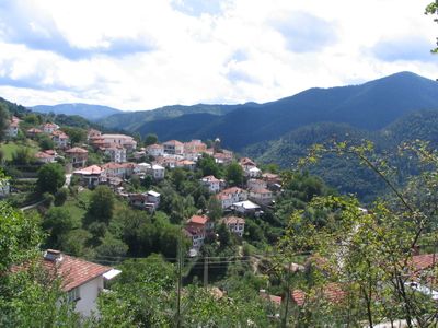
Slaveyno, village of Bulgaria
Location: Smolyan Municipality
Elevation above the sea: 1,110 m
GPS coordinates: 41.63252,24.86130
Latest update: March 17, 2025 18:06
Belintash
25.8 km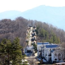
Krastova Gora
23.6 km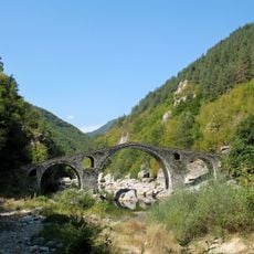
Dyavolski most
21.1 km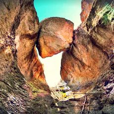
Karadzhov kamak
22.7 km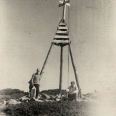
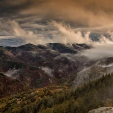
Golyam Perelik
24.2 km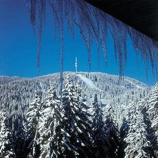
Snezhanka Peak
15.2 km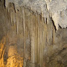
Uhlovitsa
21.3 km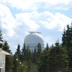
Rozhen Observatory
12.3 km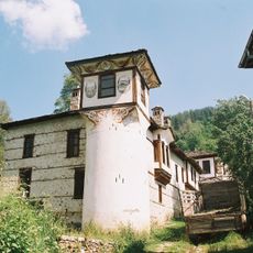
Agushevi konatsi
24.2 km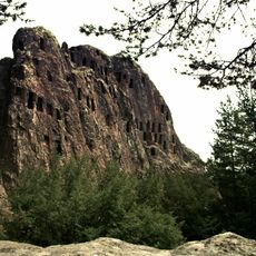
Orlovi Skali
24.8 km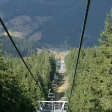
Mechi chal
17.7 km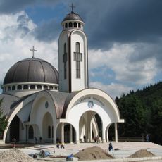
Church of Saint Vissarion of Smolyan
14.2 km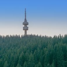
Snezhanka Tower
15.3 km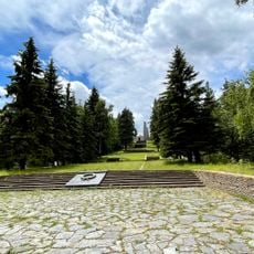
Monument-ossuary, Srednogorets
11.9 km
Soskovcheto
7.3 km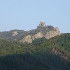
Koznik
17.4 km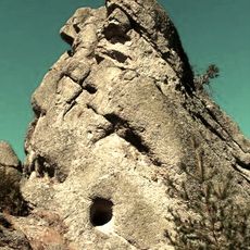
Kaz kaya
25.4 km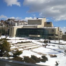
Rhodope Dramatic Theatre Nikolay Haytov
13.8 km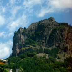
Nevyastata
14.4 km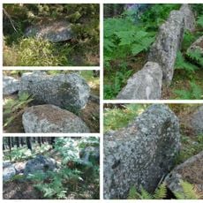
Турската куля
24.8 km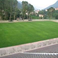
Septemvri Stadium, Smolyan
14.9 km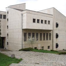
Smolyan History Museum
13.7 km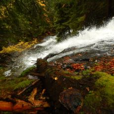
Amzovo
16 km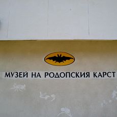
Музей на родопския карст
17.7 km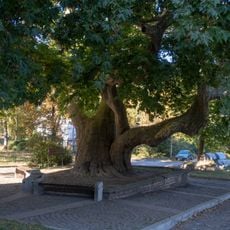
Old Platanus in Smolyan
15.8 km
Krivus
22.5 km
Sara kaya
24.3 km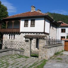
Къща музей „Константин Чилов“
127 mReviews
Visited this place? Tap the stars to rate it and share your experience / photos with the community! Try now! You can cancel it anytime.
Discover hidden gems everywhere you go!
From secret cafés to breathtaking viewpoints, skip the crowded tourist spots and find places that match your style. Our app makes it easy with voice search, smart filtering, route optimization, and insider tips from travelers worldwide. Download now for the complete mobile experience.

A unique approach to discovering new places❞
— Le Figaro
All the places worth exploring❞
— France Info
A tailor-made excursion in just a few clicks❞
— 20 Minutes