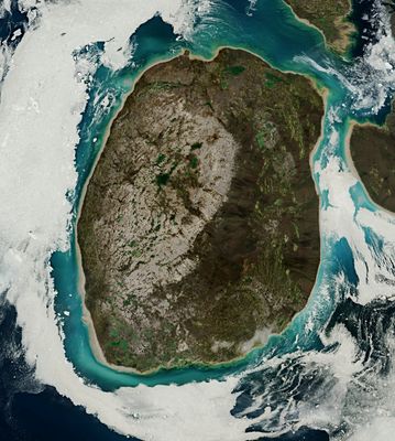
Prince Charles Island, Arctic island in Foxe Basin, Nunavut, Canada.
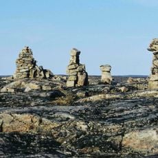
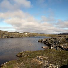
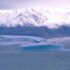
Prince Charles Island is a low-lying landmass in Foxe Basin with boggy tundra, boulder fields, and watercourses throughout. The terrain features sparse vegetation typical of Arctic regions.
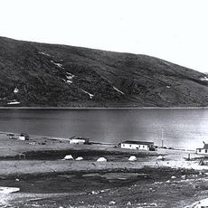
The area was first sighted in 1932 by Captain W.A. Poole during exploration. The Royal Canadian Air Force conducted a systematic survey in 1948 and officially documented the island.
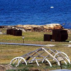
The Inuit people traveled here seasonally to hunt caribou, and this tradition shaped how the region is understood today. No permanent communities ever formed on the island, keeping it a place of passage rather than residence.
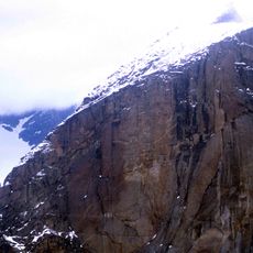
Reaching the island requires air or boat transport since it sits in the remote Arctic. Visitors should expect harsh climate conditions and prepare accordingly with proper equipment.
The highest point reaches only 73 meters above sea level and formed through sediment deposits after glacial retreat. This flat shape makes it a distinctive example of polar landforms.
The community of curious travelers
AroundUs brings together thousands of curated places, local tips, and hidden gems, enriched daily by 60,000 contributors worldwide.