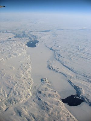
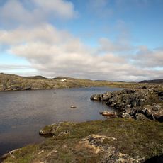
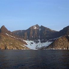
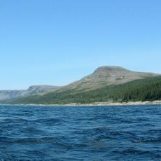
Ungava Bay, Subarctic bay in northern Quebec and Nunavut, Canada
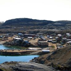
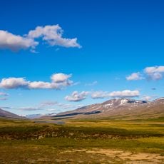
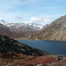
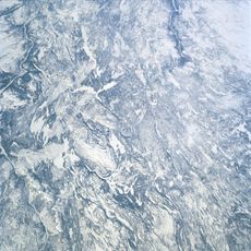
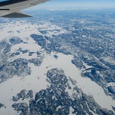
Ungava Bay is a large marine basin wedged between Quebec and Baffin Island, shaped like a funnel that opens toward the Atlantic. The water body stretches across hundreds of kilometers and forms a significant geographic feature in Canada's Arctic region.
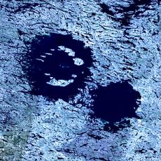
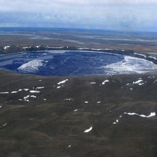
The bay may have originated from an ancient impact event that reshaped the landscape far in the past. Scientists continue to study its exact formation to better understand this Arctic region.
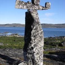
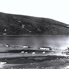
Inuit communities around the bay have always depended on hunting and fishing in these waters to feed their families. This way of life remains woven into the daily rhythm and identity of people living here today.
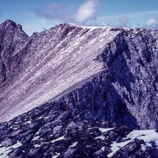
The bay remains frozen and impassable most of the year, with only a few months suitable for travel. Planning a visit requires timing your arrival during the short ice-free season and preparing for harsh Arctic conditions.
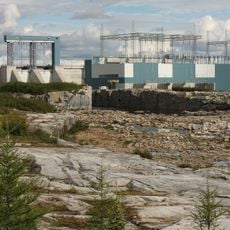
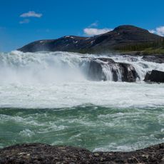
In the southwestern corner where tides become extreme, water levels rise and fall by tens of meters at a time. These dramatic tidal swings rank among the most powerful on Earth and reshape the local marine environment constantly.
The community of curious travelers
AroundUs brings together thousands of curated places, local tips, and hidden gems, enriched daily by 60,000 contributors worldwide.