Chest opened
+${chestReward.xp} XP
Explorer
NOUVEAU ×${chestReward.collectible.quantity}
tapez pour fermer
Chest locked

Open chests in the app

Around Us is built for your phone — chests unlock when you walk, explore and capture nearby places.

Enable Location

We need your location to show you interesting places around you

Discover nearby places

Find interesting locations and hidden gems around you

Precise directions

Get accurate directions and distances to places

Your location is never shared with other users. It's only used when you tap the location button.

PATH

Log in to your account

Start exploring — it's free

Trusted by 72,893 travelers worldwide

Continue with Google
Continue with Apple
or

We will send you a code to connect

By continuing, you accept our Terms and Conditions and our Privacy Policy

Check your inbox

We've sent a pincode in your inbox. Please enter the code below.

PATH
Discussion Reviews 1 Photos
111k Popularity

PATH, Underground pedestrian network in Downtown Toronto, Canada

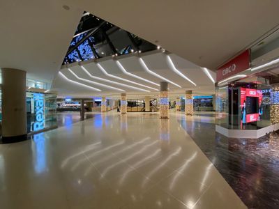
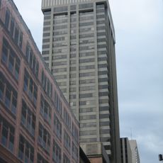
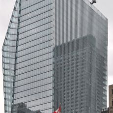
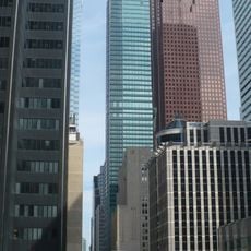
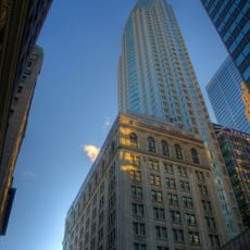
PATH is an underground pedestrian network beneath Toronto's financial and commercial core, linking office towers, shopping concourses, subway stations, and public buildings. The corridors stretch beneath downtown streets and provide climate-controlled access to hundreds of shops, restaurants, and services.

The first underground connections appeared in the early 20th century when the Eaton's department store built a tunnel to its annex building to shelter customers from the weather. Over the following decades, developers and city planners gradually expanded the network until it became a connected system in the 1970s.

The network uses a simple color code for orientation, with red marking southern routes, orange for western paths, blue for northern corridors, and yellow for eastern passages. Office workers from the towers above often spend their lunch break walking through these corridors, picking up groceries or meeting colleagues in the food courts.

The corridors are busiest on weekdays when commuters and office workers use them, while the network becomes quieter on weekends and holidays when some sections may be closed. Access is easiest through one of the downtown subway stations, which lead directly into the passages.

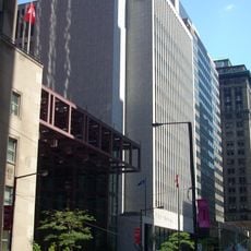
Some sections of the network run not below but above street level, crossing between towers on enclosed glass bridges. These elevated passages offer surprising views over the busy streets of the financial district.

The community of curious travelers

AroundUs brings together thousands of curated places, local tips, and hidden gems, enriched daily by 60,000 contributors worldwide.

Start exploring
Location
Official opening
1900
GPS coordinates
43.65000,-79.38000
Latest update
December 12, 2025 22:45
Reviews
Share your experience

No review yet

Discussions
Start a discussion...

No discussion yet

« PATH - Underground pedestrian network in Downtown Toronto, Canada » is provided by Around Us (aroundus.com). Images and texts are derived from Wikimedia project under a Creative Commons license. You are allowed to copy, distribute, and modify copies of this page, under the conditions set by the license, as long as this note is clearly visible.

Discover hidden gems everywhere you go!

From secret cafés to breathtaking viewpoints, skip the crowded tourist spots and find places that match your style. Our app makes it easy with voice search, smart filtering, route optimization, and insider tips from travelers worldwide. Download now for the complete mobile experience.

Around Us App Screenshot

A unique approach to discovering new places

Le Figaro

All the places worth exploring

France Info

A tailor-made excursion in just a few clicks

20 Minutes

Around Us
Travel Guide & Maps
Download

Send to your phone

QR Code
1

Open the camera app on your mobile.

2

Point at the QR code with your camera. A notification will appear.

3

Tap the notification to open the link.