Northern Ontario, Geographic region in Ontario, Canada
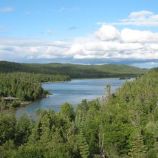
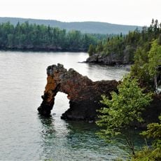
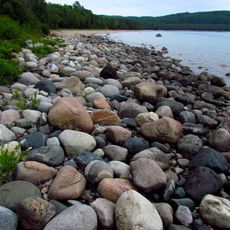
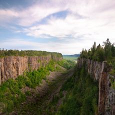
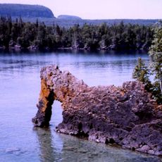
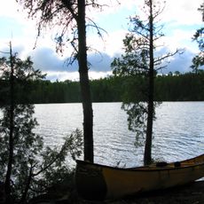
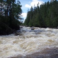
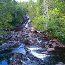
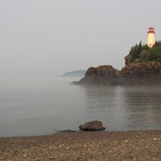
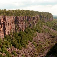
Northern Ontario is a large region in the northern part of Ontario, Canada, covering roughly 800,000 square kilometers (308,882 square miles). The landscape consists of the Canadian Shield, with dense coniferous forests, countless lakes, and rivers that flow into Hudson Bay and James Bay.
The region changed from French to British control in the 18th century through the Treaty of Paris, before becoming part of Upper Canada in 1791. Railway lines reached major settlements in the late 19th century, opening the area to mining and forestry.
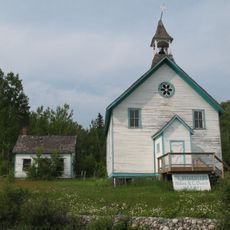
Indigenous communities maintain their traditions throughout Northern Ontario, with First Nations peoples managing natural resources and organizing community gatherings.
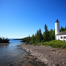
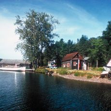
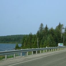
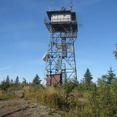
The region is accessible through a few main highways connecting cities like Thunder Bay, Sudbury, and Sault Ste. Marie, while smaller communities often require air or boat travel. Winters are long and cold, so travelers should prepare with appropriate clothing and expect changing road conditions.
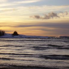
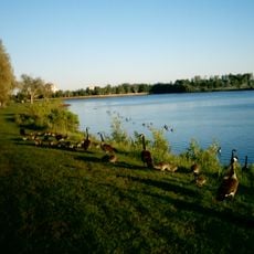
The area holds roughly one-fifth of the world's fresh water, with more than 250,000 lakes dotting the landscape. Some of these bodies of water are so large that they resemble small inland seas in calm weather.
The community of curious travelers
AroundUs brings together thousands of curated places, local tips, and hidden gems, enriched daily by 60,000 contributors worldwide.