Wabakimi Provincial Park, Provincial park in Thunder Bay District, Canada
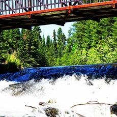
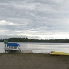
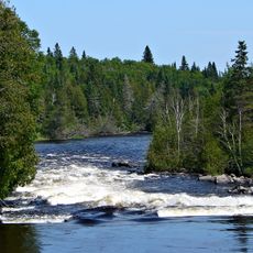
Wabakimi Provincial Park covers 8,920 square kilometres northwest of Lake Nipigon, making it Ontario's second-largest provincial park after Polar Bear Provincial Park. Its core is a network of more than 2,000 kilometres of lakes, rivers and portages, with no road access into the interior. Woodland caribou live in the park, and petroglyphs have been documented there.
The area gained official provincial park status in 1983, establishing protection for the northern Ontario wilderness. This designation represented a major step in preserving the landscape for future generations.
The park lies in the traditional territory of the Savant Lake First Nation, the Mishkeegogamang First Nation and the Ojibway Nation of Saugeen. The Wabakimi Project (2004-2018) mapped historic canoe routes: 244 volunteers cleared 1,081 portages and 1,035 campsites, publishing 116 maps in five volumes.
Visitors can paddle through numerous water routes and find camping areas and basic lodges scattered throughout for overnight stays. Those planning to visit should have strong paddling skills and wilderness navigation experience.
The Wabakimi Project (2004–2018) sent 244 volunteers to map historic canoe routes, uncovering 1,081 portages and 1,035 campsites; their work was published as 116 maps in five volumes. The park's waterways straddle a height-of-land, so rain falling on one side drains to the Atlantic via Lake Superior and on the other to the Arctic via James Bay.
The community of curious travelers
AroundUs brings together thousands of curated places, local tips, and hidden gems, enriched daily by 93,975 contributors worldwide.