Strait of Anián, Former maritime strait in Northwest Passage, Canada.
The Strait of Anián is a formerly mapped waterway in Canada's Arctic waters that was believed to connect the Atlantic and Pacific oceans. It was shown on maps as part of a northern passage but never actually existed as described.
Italian mapmaker Giacomo Gastaldi first drew this strait on maps around 1562, helping spread a geographical misunderstanding. Later, explorers James Cook and George Vancouver proved during their voyages in the 1770s and 1790s that the waterway was entirely fictional.
For centuries, European traders and navigators pursued this passage because they hoped to find a shorter way to Asia's trading ports. The dream of this route shaped exploration plans and ambitions across many generations.
Visitors today can explore this geographical misconception through historical maps and expedition records in museums and archives. A closer look at old maps shows how differently explorers positioned and imagined this location.
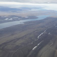
Mapmakers in the 16th and 17th centuries drew this strait in different locations on different maps, sometimes near California, sometimes closer to today's Bering Strait. This confusion reveals how cartographers back then included rumors and guesses in their work.
The community of curious travelers
AroundUs brings together thousands of curated places, local tips, and hidden gems, enriched daily by 60,000 contributors worldwide.