
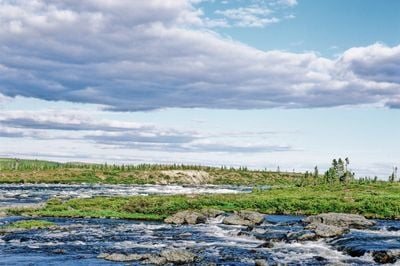
Baie-d'Hudson, unorganized territory in Quebec, Canada
Location: Kativik Regional Government
Shares border with: Salluit, Whapmagoostui, Rivière-Koksoak, Ivujivik
GPS coordinates: 58.50000,-75.00000
Latest update: April 8, 2025 05:45
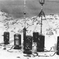
Weather Station Kurt
628.1 km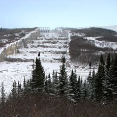
James Bay Project
547.4 km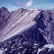
Mount Caubvick
653.5 km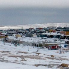
Sanikiluaq
333.4 km
Hammer of Thor
308.9 km
Torngat Mountains National Park
656.2 km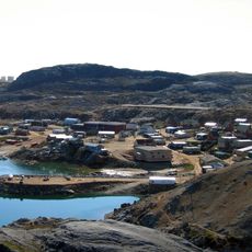
Kimmirut
558.5 km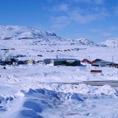
Kinngait
643.5 km
Moose Factory Island
881.2 km
Legislative Building of Nunavut
679.6 km
Kawawachikamach
645.5 km
CFS Saglek
721.2 km
Pingualuit National Park
320.4 km
Robert-Bourassa Reservoir
543.1 km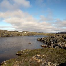
Sylvia Grinnell Territorial Park
652.8 km
CFS Resolution Island
670.1 km
Tursujuq National Park
262.3 km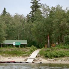
Tidewater Provincial Park
881.8 km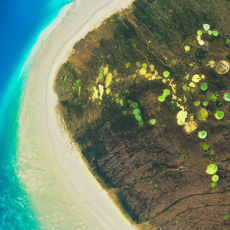
Dewey Soper Migratory Bird Sanctuary
855 km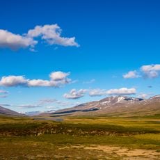
Kuururjuaq National Park
595.6 km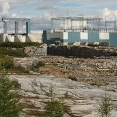
Laforge-2 generating station
491.4 km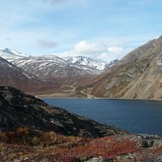
Nachvak Fiord
651.4 km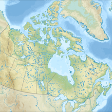
Brave Mountain
763.2 km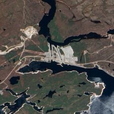
Aménagement de l'Eastmain-1
706.5 km
Akimiski Island Migratory Bird Sanctuary
725.4 km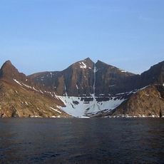
Bishop's Mitre
765.2 km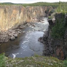
Canyon Eaton
525.8 km
Lake Nemiscau
794.8 kmReviews
Visited this place? Tap the stars to rate it and share your experience / photos with the community! Try now! You can cancel it anytime.
Discover hidden gems everywhere you go!
From secret cafés to breathtaking viewpoints, skip the crowded tourist spots and find places that match your style. Our app makes it easy with voice search, smart filtering, route optimization, and insider tips from travelers worldwide. Download now for the complete mobile experience.

A unique approach to discovering new places❞
— Le Figaro
All the places worth exploring❞
— France Info
A tailor-made excursion in just a few clicks❞
— 20 Minutes