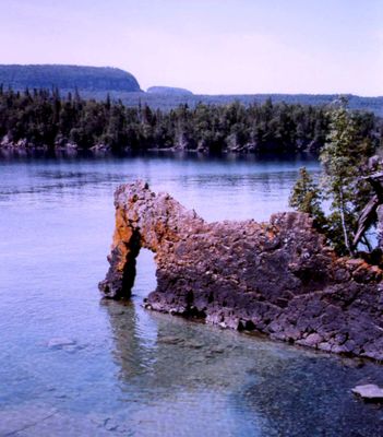
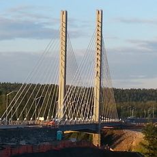
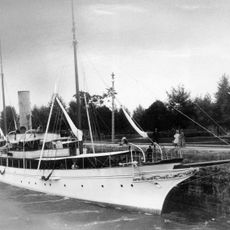
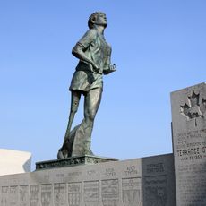
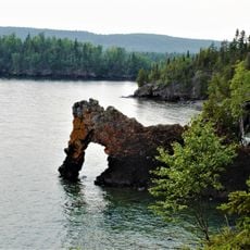
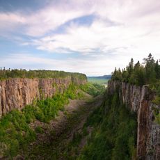
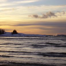
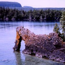
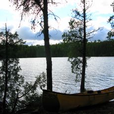
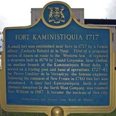
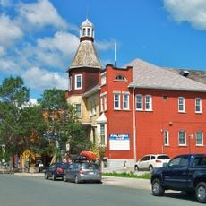
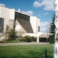
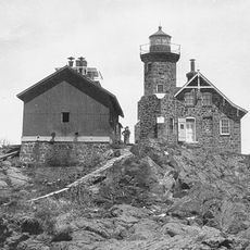
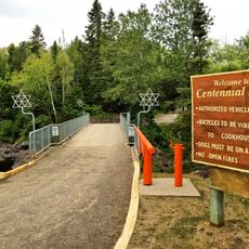
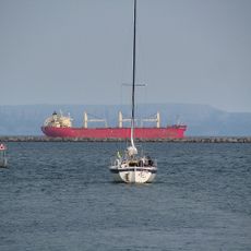
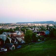
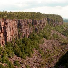
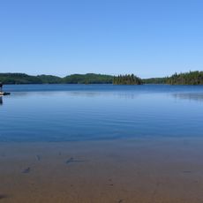
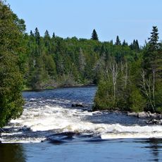
Unorganized Thunder Bay District, unorganized area in Ontario, Canada
Location: Thunder Bay District
Shares border with: Neebing, Thunder Bay, Oliver Paipoonge, Red Rock
GPS coordinates: 50.00000,-88.00000
Latest update: March 4, 2025 08:57
Nipigon River Bridge
110.6 km
Gunilda
141.7 km
Terry Fox Memorial and Lookout
188.8 km
Sleeping Giant Provincial Park
196.5 km
Ouimet Canyon
143.3 km
Neys Provincial Park
172.9 km
Lake Superior National Marine Conservation Area
195.5 km
Wabakimi Provincial Park
134.3 km
Fort Kaministiquia
200.3 km
Finnish Labour Temple
196.1 km
Thunder Bay Community Auditorium
197.4 km
Marina Park
195.5 km
Current River Greenway
192.3 km
Rainbow Falls Provincial Park
136.1 km
Waverley Park
195.5 km
Passage Island Light
199.5 km
Centennial Park
190.4 km
Thunder Bay Port Authority
198.2 km
Hillcrest Park
196 km
Thunder Bay Tourist Pagoda
195.5 km
Battle Island Light
142.6 km
St. Andrew's Church
195.4 km
Connaught Square
195.5 km
Saint Sylvesters Church
108.6 km
Ouimet Canyon Provincial Park
143.4 km
Slate Islands Provincial Park
165.9 km
Kopka River Provincial Park
108.7 km
Central School
195.5 kmVisited this place? Tap the stars to rate it and share your experience / photos with the community! Try now! You can cancel it anytime.
Discover hidden gems everywhere you go!
From secret cafés to breathtaking viewpoints, skip the crowded tourist spots and find places that match your style. Our app makes it easy with voice search, smart filtering, route optimization, and insider tips from travelers worldwide. Download now for the complete mobile experience.
A unique approach to discovering new places❞
— Le Figaro
All the places worth exploring❞
— France Info
A tailor-made excursion in just a few clicks❞
— 20 Minutes