Lake Zurich, Alpine lake in Zurich, Switzerland
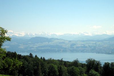
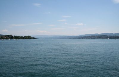
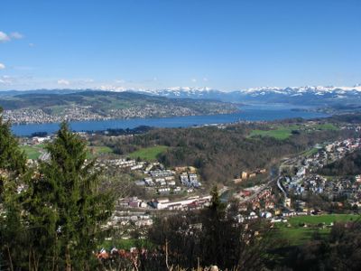
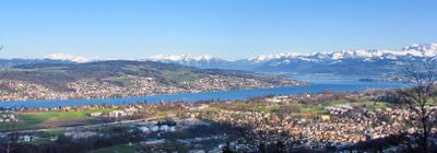
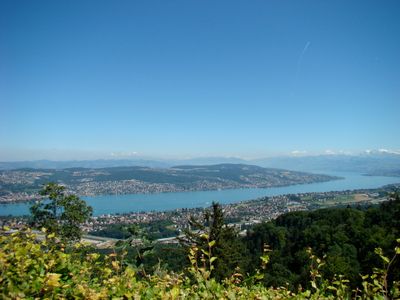
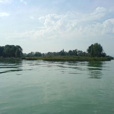
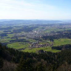
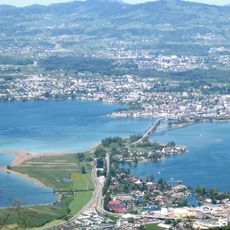
Lake Zurich is an Alpine lake in Switzerland that stretches southeast from the city of Zurich across three cantons. Between its northern and southern ends lie roughly 40 kilometers (25 miles), while the widest point measures about three kilometers (two miles) and the deepest zone reaches 136 meters (446 feet) below the surface.
The shape of the present basin formed during the last Ice Age, when the Rhine-Linth glacier carved out the valley and left behind a large depression. After the ice retreated this hollow filled with meltwater and gradually formed the body of water that today holds over three cubic kilometers.
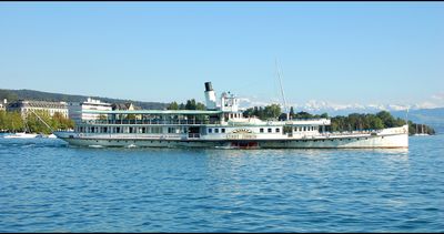
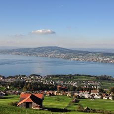
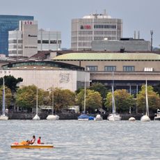
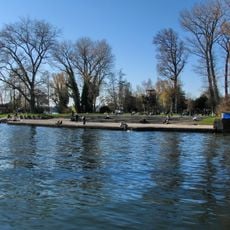
Residents from surrounding towns take small boats onto the water or gather at lido beaches along the flat shoreline, where grass lawns reach down to the lake. On warm days families grill in public green spaces near the shore, while others stroll along the waterfront or linger on the promenades of lakeside settlements.
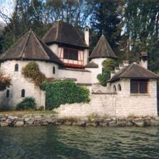
Visitors wishing to explore the shoreline find access points in several settlements along the water, where public paths and lawns lead down to the shore. Most waterfront sections can be followed on foot or by bicycle, while boats run regularly between larger docks and also call at smaller harbors.
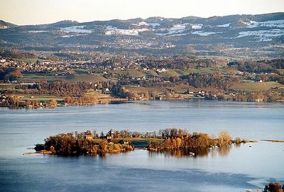
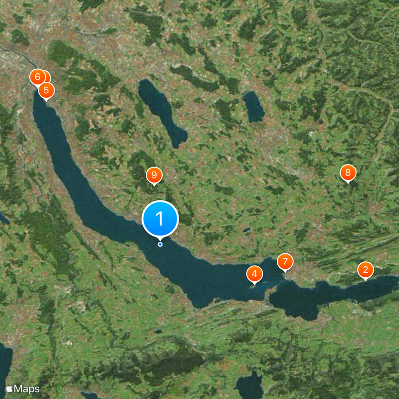
Below the surface lie the remains of nine prehistoric pile dwellings that were built thousands of years ago along the shallow edges of the water. These submerged settlement structures belong to a UNESCO World Heritage listing and offer insight into the lives of early communities who lived here by the shore.
The community of curious travelers
AroundUs brings together thousands of curated places, local tips, and hidden gems, enriched daily by 60,000 contributors worldwide.