Enable Location

We need your location to show you interesting places around you

Discover nearby places

Find interesting locations and hidden gems around you

Precise directions

Get accurate directions and distances to places

Your location is never shared with other users. It's only used when you tap the location button.

Meiringen

Log in to your account

Start exploring — it's free

Trusted by 62,168 travelers worldwide

Continue with Google
Continue with Apple
or

We will send you a code to connect

By continuing, you accept our Terms and Conditions and our Privacy Policy

Check your inbox

We've sent a pincode in your inbox. Please enter the code below.

Meiringen, Administrative district in Interlaken-Oberhasli, Switzerland.

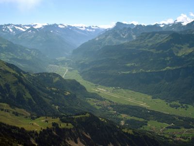
Meiringen is a town at the crossroads of mountain passes in the eastern Bernese Oberland, connecting different valleys. The settlement sits alongside nearby communities like Balm and Brünigen, functioning as a valley center with practical services for the surrounding area.

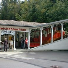
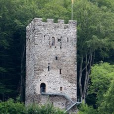
The town was first recorded in 1234 as Magiringin and grew into a regional trading center because of its strategic location on mountain pass routes. This position made it a natural hub for commerce and travel through the region.

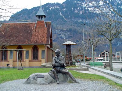
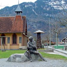
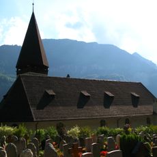
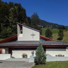
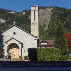
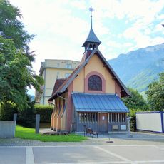
The reformed Church of St. Michael remains central to the town's character and reflects centuries of local spiritual life. Religious traditions have deeply shaped how people in this mountain community gather and mark important occasions.

The Meiringen-Interlaken Ost railway line connects the town directly to major Swiss cities, with service restored in 2024. Visitors can easily arrive and depart using regional train connections without needing a car.

The town's coat of arms features a black eagle on a yellow background, a symbol rooted in medieval imperial rule. This imagery connects the small Alpine valley to broader European history in an unexpected way.

The community of curious travelers

AroundUs brings together thousands of curated places, local tips, and hidden gems, enriched daily by 60,000 contributors worldwide.

Start exploring
Elevation above the sea
600 m
Shares border with
Brienz, Hasliberg, Schattenhalb, Brienzwiler, Grindelwald, Innertkirchen, Lungern
GPS coordinates
46.72833,8.18611
Latest update
December 20, 2025 11:54
« Meiringen - Administrative district in Interlaken-Oberhasli, Switzerland » is provided by Around Us (aroundus.com). Images and texts are derived from Wikimedia project under a Creative Commons license. You are allowed to copy, distribute, and modify copies of this page, under the conditions set by the license, as long as this note is clearly visible.

Discover hidden gems everywhere you go!

From secret cafés to breathtaking viewpoints, skip the crowded tourist spots and find places that match your style. Our app makes it easy with voice search, smart filtering, route optimization, and insider tips from travelers worldwide. Download now for the complete mobile experience.

Around Us App Screenshot

A unique approach to discovering new places

Le Figaro

All the places worth exploring

France Info

A tailor-made excursion in just a few clicks

20 Minutes

Around Us
Travel Guide & Maps
Download

Send to your phone

QR Code
1

Open the camera app on your mobile.

2

Point at the QR code with your camera. A notification will appear.

3

Tap the notification to open the link.