Chest opened
+${chestReward.xp} XP
Explorer
NOUVEAU ×${chestReward.collectible.quantity}
tapez pour fermer
Chest locked

Open chests in the app

Around Us is built for your phone — chests unlock when you walk, explore and capture nearby places.

Enable Location

We need your location to show you interesting places around you

Discover nearby places

Find interesting locations and hidden gems around you

Precise directions

Get accurate directions and distances to places

Your location is never shared with other users. It's only used when you tap the location button.

San Bernardino Pass

Log in to your account

Start exploring — it's free

Trusted by 72,992 travelers worldwide

Continue with Google
Continue with Apple
or

We will send you a code to connect

By continuing, you accept our Terms and Conditions and our Privacy Policy

Check your inbox

We've sent a pincode in your inbox. Please enter the code below.

San Bernardino Pass
Discussion Reviews 1 Photos
58.3k Popularity

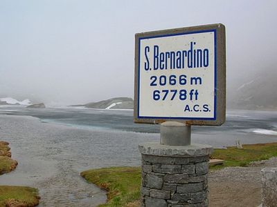
San Bernardino Pass, Mountain pass in Grisons, Switzerland.

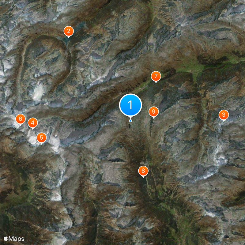
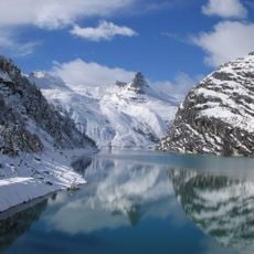
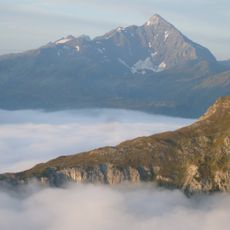
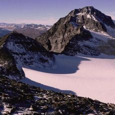
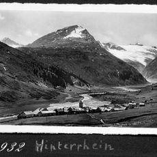
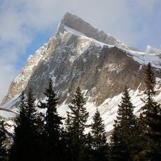
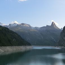
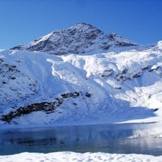
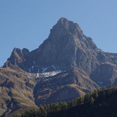
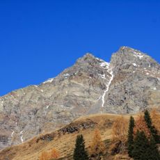
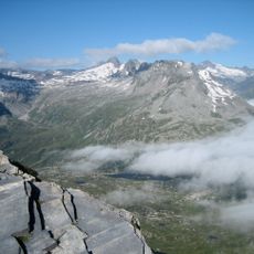
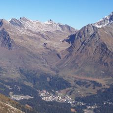
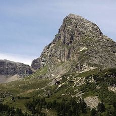
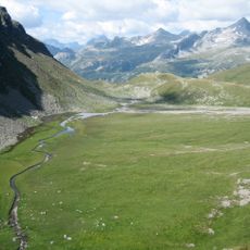
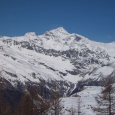
San Bernardino Pass is a mountain crossing in the Swiss Alps at 2065 meters (about 6775 feet), linking the Hinterrhein valley with Mesolcina. The road climbs in switchbacks between steep rock faces and open slopes, with views of ridges and surrounding peaks.

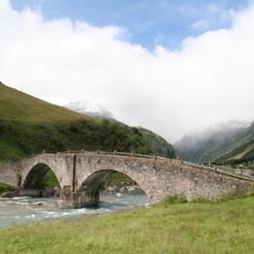
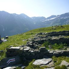
The route became known as a mule track in the 15th century and gained importance for trade across the Alps. Between 1821 and 1823 the Kingdom of Sardinia funded improvements to the road, making travel easier with more modern paths.

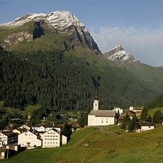
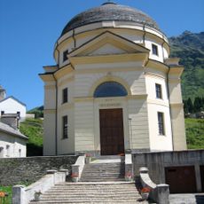
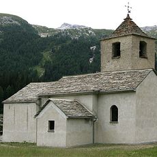
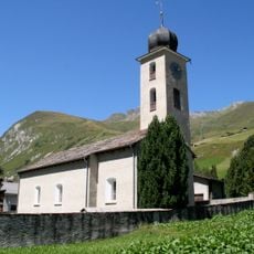
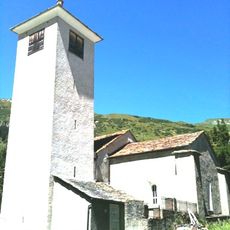
The name comes from an old chapel and hospice that once offered shelter to travelers when the route was crossed on foot or by mule. Today this crossing connects valleys where German and Italian are spoken, showing the linguistic diversity of the Swiss Alps in a single journey.

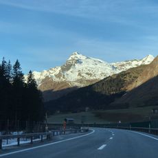
The pass road is usually open from May to November, depending on snow conditions and weather. The San Bernardino tunnel offers a year-round alternative when the high road is closed.

The highest point divides the watershed between the North Sea and Adriatic, so rain falling on one side flows north while rain on the other flows south. This geographic shift can be seen in the different directions of streams and small water channels along the road.

The community of curious travelers

AroundUs brings together thousands of curated places, local tips, and hidden gems, enriched daily by 60,000 contributors worldwide.

Start exploring
Elevation above the sea
2,065 m
Part of
Watershed between the Adriatic Sea and the North Sea
GPS coordinates
46.49700,9.17200
Latest update
December 13, 2025 19:36
Reviews
Share your experience

No review yet

Discussions
Start a discussion...

No discussion yet

« San Bernardino Pass - Mountain pass in Grisons, Switzerland » is provided by Around Us (aroundus.com). Images and texts are derived from Wikimedia project under a Creative Commons license. You are allowed to copy, distribute, and modify copies of this page, under the conditions set by the license, as long as this note is clearly visible.

Discover hidden gems everywhere you go!

From secret cafés to breathtaking viewpoints, skip the crowded tourist spots and find places that match your style. Our app makes it easy with voice search, smart filtering, route optimization, and insider tips from travelers worldwide. Download now for the complete mobile experience.

Around Us App Screenshot

A unique approach to discovering new places

Le Figaro

All the places worth exploring

France Info

A tailor-made excursion in just a few clicks

20 Minutes

Around Us
Travel Guide & Maps
Download

Send to your phone

QR Code
1

Open the camera app on your mobile.

2

Point at the QR code with your camera. A notification will appear.

3

Tap the notification to open the link.