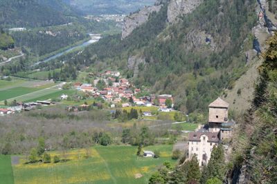
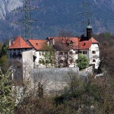
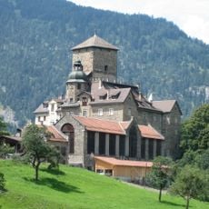
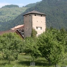
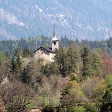
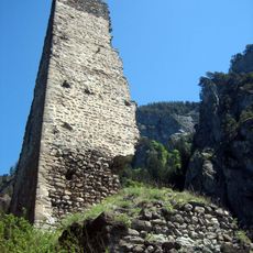
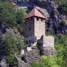
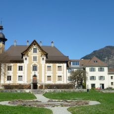
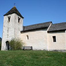
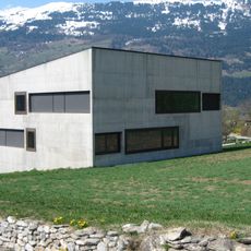
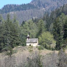
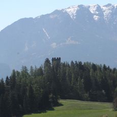
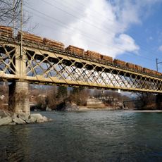
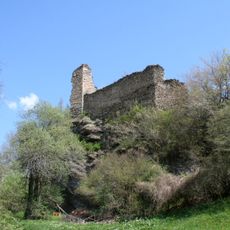
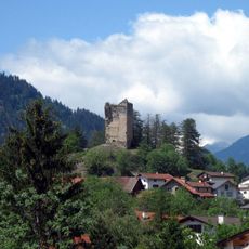
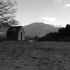
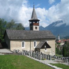
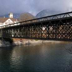
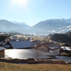
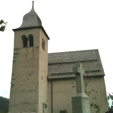
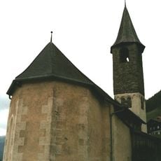
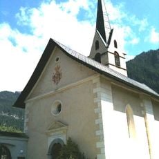
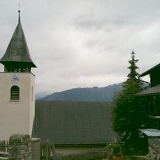
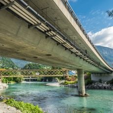
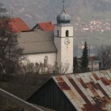
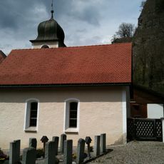
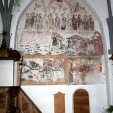
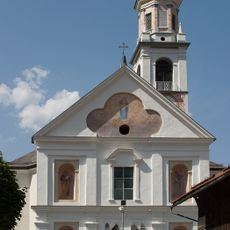
Rothenbrunnen, municipality in the canton of the Grisons in Switzerland
Location: Viamala Region
Location: Grisons
Elevation above the sea: 625 m
Shares border with: Cazis, Feldis/Veulden, Rhäzüns, Tumegl/Tomils, Domat/Ems
Website: http://rothenbrunnen.ch
GPS coordinates: 46.76667,9.41667
Latest update: April 2, 2025 18:50
Rhäzüns Castle
3.7 km
Ortenstein Castle
1.6 km
Rietberg Castle
4.2 km
Sogn Gieri
4.1 km
Hochjuvalt Castle
1.3 km
Innerjuvalt Castle
1.2 km
Schloss Paspels
2.6 km
St. Lorenz
1.9 km
Oberstufenschulhaus
3 km
St. Maria Magdalena
2.8 km
Neu-Süns Castle
3.4 km
Hinterrheinbrücke (Reichenau)
6.3 km
Heinzenberg Castle
3 km
Alt-Süns Castle
2.6 km
St. Nepomuk
1.7 km
Sogn Paul (Kirche)
3.6 km
Emserbrücke Reichenau
6.4 km
Sogn Murezi
2 km
Petrushügel
3.7 km
Reformierte Kirche Feldis
3.2 km
Reformed church
2.4 km
Reformierte Kirche Almens
4.3 km
Reformierte Kirche Trans GR
3.3 km
Hinterrheinbrücke Bonaduz A 13
6.2 km
Reformierte Kirche Präz
2.9 km
Reformierte Kirche Rothenbrunnen
839 m
Catholic Church St. Maria e Maurezzi
1.7 km
Baselgia catolic Sontga Maria, Rhäzüns
3.8 kmReviews
Visited this place? Tap the stars to rate it and share your experience / photos with the community! Try now! You can cancel it anytime.
Discover hidden gems everywhere you go!
From secret cafés to breathtaking viewpoints, skip the crowded tourist spots and find places that match your style. Our app makes it easy with voice search, smart filtering, route optimization, and insider tips from travelers worldwide. Download now for the complete mobile experience.
A unique approach to discovering new places❞
— Le Figaro
All the places worth exploring❞
— France Info
A tailor-made excursion in just a few clicks❞
— 20 Minutes