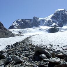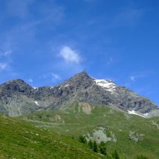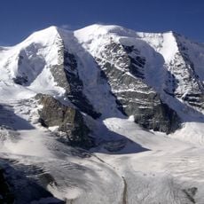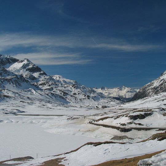
Bernina Pass, Mountain pass in Grisons, Switzerland.
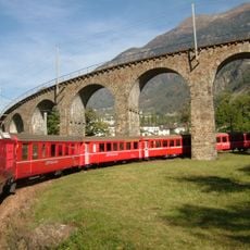
The Bernina Pass is a mountain saddle in the Bernina Range of the Alps, in the Swiss canton of Graubünden, connecting the Engadin valley with Val Poschiavo. The pass road reaches 2,327 metres at its summit, while the Bernina railway crosses slightly lower at Ospizio Bernina, 2,253 metres. The railway is an adhesion line, not a rack railway, and is the highest adhesion railway route in Europe.
The pass was used as a trade route in the Middle Ages; in 1410 communities north and south of it agreed to maintain the path together. In 1512 the Three Leagues and their Swiss allies crossed the Bernina Pass to invade the Valtellina. Road construction began in 1842 under engineer Rudolf Albertini of Zuoz and was completed in 1865, when a hospice opened at 2,307 m.
The pass marks the boundary between Romansh and Italian speech; the Bernina railway, electric and metre-gauge since its opening sections in 1908, has crossed it since 1910 and in winter since 1913. The line largely follows the historic Bernina-West route, and the Ospizio Bernina hospice by the pass served travellers on the old mule track.
The pass road, begun in 1842 and finished in 1865, has been kept open all year since 1965 even though snow lies on the pass for about eight months. The summit of the road sits at 2,327 m, slightly east of the hospice at 2,307 m. The railway crosses lower, at 2,253 m at Ospizio Bernina.
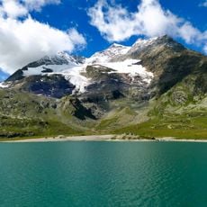
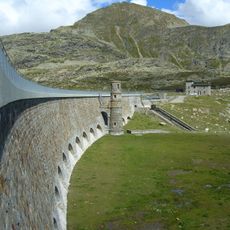
The pass sits on the watershed between the Black Sea and the Adriatic: Lej Nair drains north through the Berninabach into the Inn, while Lago Bianco drains south via the Acqua da Pila and Poschiavino toward the Po. The boundary between Romansh- and Italian-speaking areas runs here. Dams at both ends of Lago Bianco store about 18 million cubic metres for hydropower.
The community of curious travelers
AroundUs brings together thousands of curated places, local tips, and hidden gems, enriched daily by 92,894 contributors worldwide.