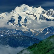
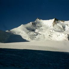
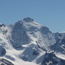
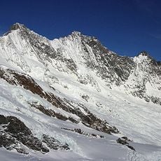
Balfrin, Mountain summit in Valais, Switzerland
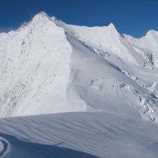
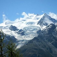
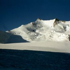
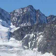
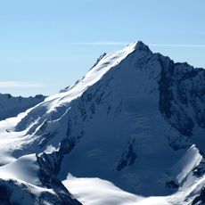
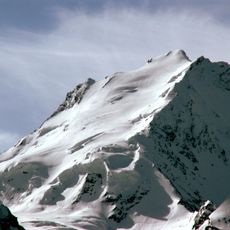
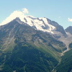
Balfrin is a mountain summit in the Pennine Alps located between the Mattertal and Saastal valleys in Switzerland. The peak sits within the Mischabel massif and features glaciers on its northern slopes.
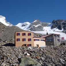
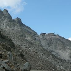
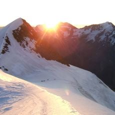
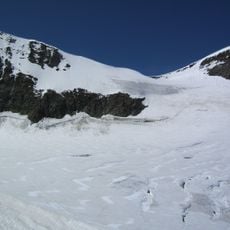
The sources record no first-ascent date for the Balfrin, so its climbing history is documented only through routes. The normal route runs from Gasenried via the Bordierhütte (2886 m) over the west ridge of the Gross Bigerhorn and the pre-summit, with a slightly exposed rock step of grade II. A second route climbs from the Mischabelhütte above Saas-Fee over the Windjoch, Ulrichshorn and Riedpass. In 2023 a new approach to the Bordierhütte removed the need to cross a glacier.
The long-distance trail between Saas-Fee and the Hannigalp above Grächen is also called the Höhenweg Balfrin; it runs above the tree line and takes about seven hours. Since 2008 it has been signposted as regional route 27, "Swiss Tour Monte Rosa, stage Grächen – Saas-Fee", and it is also the 16th stage of the Alpenpässe-Weg from Saas-Fee to Grächen.
Access to the summit typically begins from the Riedpass at higher elevations, which provides a more direct route to the peak. Climbers should be well-prepared for high Alpine conditions and demanding terrain.
The Balfrin has a northern fore-summit at 3,782 m, slightly lower than the main top. Its normal route from Gasenried reaches the Bordierhütte in about four hours; since 2023 a new approach lets hikers reach the hut without crossing a glacier. Above the hut the key passage is an exposed rock step of grade II.
The community of curious travelers
AroundUs brings together thousands of curated places, local tips, and hidden gems, enriched daily by 94,611 contributors worldwide.