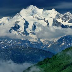
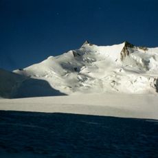
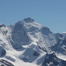
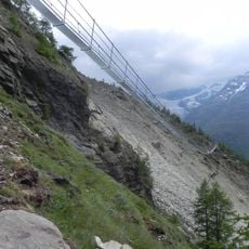
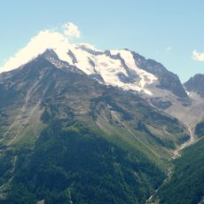
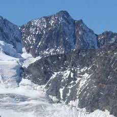
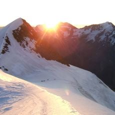
Ried Glacier, Alpine glacier in Valais, Switzerland.
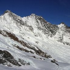
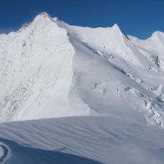
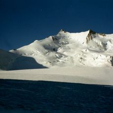
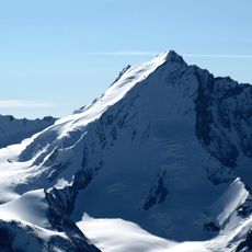
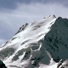
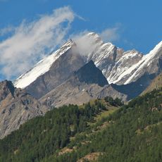
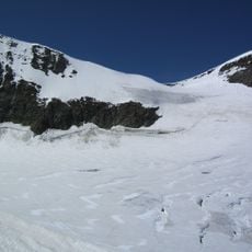
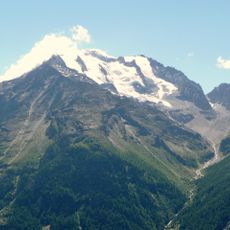
The Ried Glacier is a valley glacier on the north side of the Mischabel range in the Pennine Alps, Valais. It begins above 4200 m on the firn-covered north flank of the Nadelhorn (4327 m), flows north over a steep slope and spreads between 3400 and 3600 m in a basin bounded by the Dirruhorn, Ulrichshorn and Balfrin. It then turns northwest between the Breithorn and Färichhorn, narrowing to a tongue ending at about 2100 m. Its area was 7.89 km² in 1995.
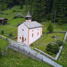
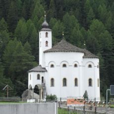
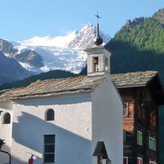
The Ried Glacier reached its Little Ice Age maximum around the mid-19th century, when its tongue ended below today's tree line. In 1672 the chapel of Schalbetten was built as protection against the advancing ice, and a vow procession still goes there each 4 September. Since 1895 the glacier has lost over 1.2 km in length, including 500 m in 2008–2009 alone.
Water from the Riedbach, fed by the glacier, is diverted through several Suonen (water channels) to irrigate meadows in the municipalities of St. Niklaus and Grächen. Every year on 4 September, St. Jodern's day, a vow procession goes to the Schalbetten chapel, built in 1672 as protection against the advancing glacier.
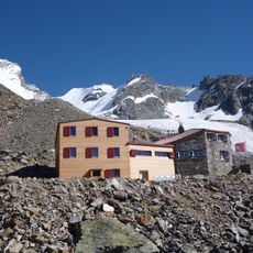
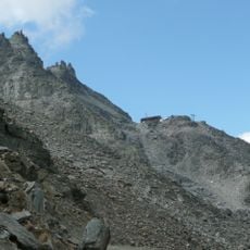
The glacier tongue ends at about 2,100 m; the Bordierhütte of the Swiss Alpine Club stands at 2,886 m on a rock spur east of the glacier. Since 2023 a new path, made possible by the ice retreat, reaches the hut without crossing the glacier. The Riedbach below feeds irrigation channels (Suonen) used for meadows in St. Niklaus and Grächen.
The glacier's former terminus, marked by a sign reading 'Gletschertor', now features a larch forest growing where ice existed just twenty years ago.
The community of curious travelers
AroundUs brings together thousands of curated places, local tips, and hidden gems, enriched daily by 93,452 contributors worldwide.