Odienné, city of côte d'ivoire
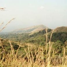
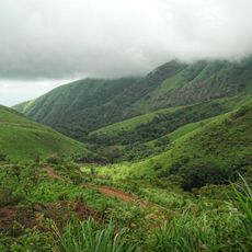
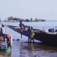
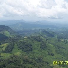
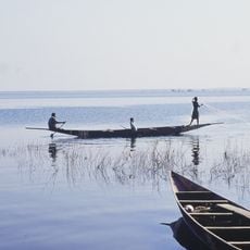
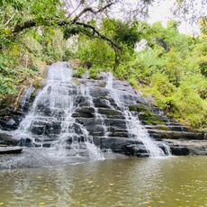
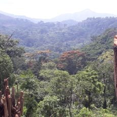
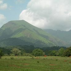
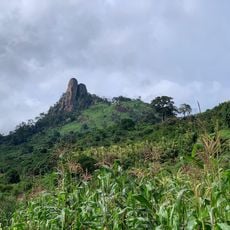
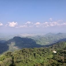
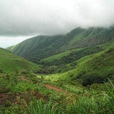
Odienné is a small town in northwestern Ivory Coast surrounded by green forests and rolling hills. The area features nearby rivers, waterfalls, and mountain landscapes that create varied terrain for visitors to explore.
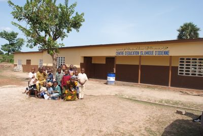
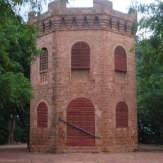
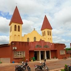
The town grew from a local settlement into an important trading point for the region over time. Its history is closely tied to the Denguélé area, where traditional village communities maintain their structures and ways of life.
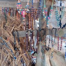
The name Odienné reflects the heritage of the local people and their connection to the land. Handmade pottery and woven textiles are common sights in markets and daily life, showing how artisans maintain traditional skills passed down through generations.
The town is best explored on foot, with markets most active in early morning hours. The best time to visit is during the dry season when hiking and exploring nearby nature are comfortable.
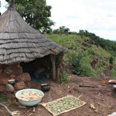
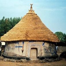
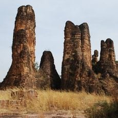
Nearby villages in the Denguélé region feature traditional architecture built with natural materials that is rarely documented. This construction style offers a rare glimpse into historical ways of living that remain little known in the wider world.
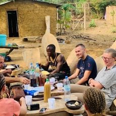
The community of curious travelers
AroundUs brings together thousands of curated places, local tips, and hidden gems, enriched daily by 60,000 contributors worldwide.