Bas-Sassandra Region, Former administrative region in southwestern Ivory Coast.
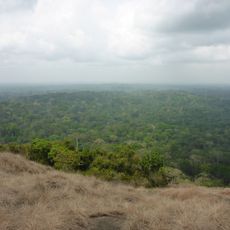
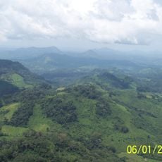
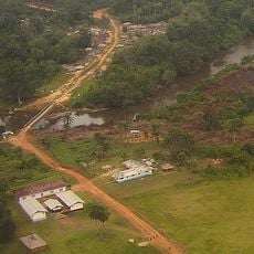
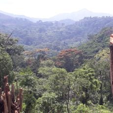
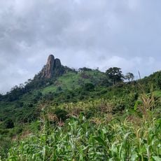
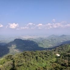
Bas-Sassandra is a former administrative region in southwestern Ivory Coast that stretches along the Sassandra River and the Atlantic coast. The area comprises several distinct departments that together form a patchwork of river valleys, coastal zones, and forested areas.
The region was established in 1997 as an administrative subdivision and existed for about 15 years. In 2011, it was dissolved as part of a national administrative reform and converted into the Bas-Sassandra District.
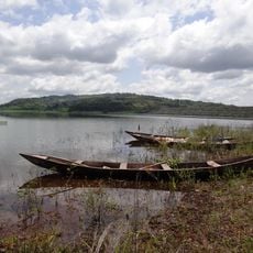
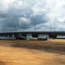
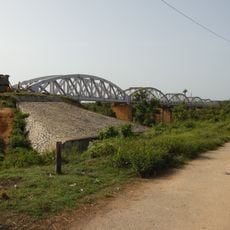
The name comes from the Sassandra River, which shapes the landscape and connects the region to the sea. You can see how this waterway defines how people live and work here.
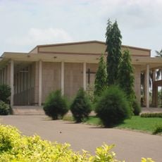
The coastal city of San-Pédro serves as the main reference point and offers the most access to transport and services in this area. The dry season is the best time to visit, when roads and river areas are easiest to navigate.
The Sassandra River once marked the boundary between several historical kingdoms and served as a natural trade route for communities along its banks. This river-based history still shapes the connections between the villages and towns across the region.
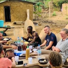
Location: Ivory Coast
Inception: 1997
Capital city: San-Pédro
Elevation above the sea: 139 m
Shares border with: Moyen-Cavally, Haut-Sassandra, Fromager, Sud-Bandama
GPS coordinates: 5.50000,-6.66667
Latest update: December 12, 2025 09:07
Basilica of Our Lady of Peace of Yamoussoukro
210.4 kmAlassane Ouattara Stadium
287.2 km
Laurent Pokou Stadium
76.1 km
Sapo National Park
208.8 km
Banco National Park
290 km
Charles Konan Banny Stadium
215.8 km
Fort de Dabou
253.5 km
Lake Kossou
218.9 km
Marahoué National Park
191.7 km
Assagny National Park
200.5 km
Pont Philippe-Yacé
270.4 km
Mont Niénokoué
57.1 km
Mont Tonkpi
242.6 km
Yamoussoukro Cathedral
212.9 km
Pont ferroviaire de Dimbokro
251.2 km
Les Cascades Naturelles de Man
235.9 km
Taï National Park
114.2 km
Cathedral of Christ the King of Dalo
155.9 km
George W. Bush Bridge
195.8 km
Cape Palmas Lighthouse
172.6 km
Singes sacrés de la Foret Sacrée de Gbepleu
235.5 km
Lac aux Caïmans
212.9 km
Le Rocher des Amours
86.6 km
La Dent de Man
238.4 km
Mont Tonkoui
242.6 km
Parc archéologique d'Ahouakro
211.4 km
Groupe scolaire Ganleu
230.3 km
Campement Dent de Man
237.2 kmVisited this place? Tap the stars to rate it and share your experience / photos with the community! Try now! You can cancel it anytime.
Discover hidden gems everywhere you go!
From secret cafés to breathtaking viewpoints, skip the crowded tourist spots and find places that match your style. Our app makes it easy with voice search, smart filtering, route optimization, and insider tips from travelers worldwide. Download now for the complete mobile experience.
A unique approach to discovering new places❞
— Le Figaro
All the places worth exploring❞
— France Info
A tailor-made excursion in just a few clicks❞
— 20 Minutes