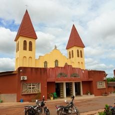
Fromager, Administrative region in central-western Ivory Coast.
Fromager was an administrative region located in central-western Ivory Coast covering approximately 6,900 square kilometers. It encompassed two departments, Gagnoa and Oumé, which served as the main territorial divisions of this area.
The region was established in March 2000 by combining territories from the Haut-Sassandra and Marahoué regions. It operated as a first-level administrative division until its dissolution in 2011, when it became part of the Gôh Region.
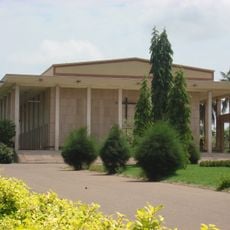
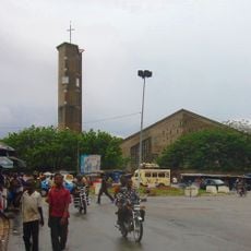
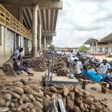
The region supported a population of 679,900 residents in 2002, with Gagnoa serving as its administrative center and main economic hub.
The territory once known as Fromager is now part of the Gôh Region within the Gôh-Djiboua District. For information about this former administrative area, local government offices in Gagnoa can provide historical and administrative details.
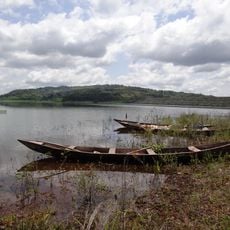
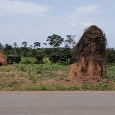
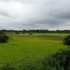
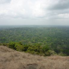
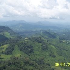
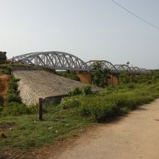
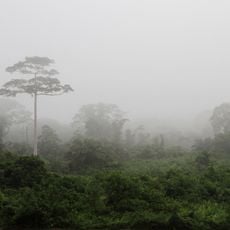
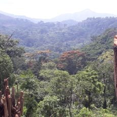
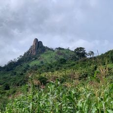
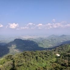
Located at coordinates 6°15′N and 5°55′W, the region maintained substantial cacao plantations and timber operations throughout its administrative existence.
Location: Ivory Coast
Inception: 2000
Capital city: Gagnoa
Elevation above the sea: 236 m
Shares border with: Lacs Region, Lagunes region, Sud-Bandama, Bas-Sassandra Region, Haut-Sassandra, Marahoué Region
GPS coordinates: 6.25000,-5.91667
Latest update: December 11, 2025 18:06
Basilica of Our Lady of Peace of Yamoussoukro
92.7 kmAlassane Ouattara Stadium
221.2 km
Laurent Pokou Stadium
178 km
Banco National Park
227.4 km
Stade de la Paix
186.3 km
Charles Konan Banny Stadium
98.2 km
Fort de Dabou
198.7 kmSanctuaire marial d'Abidjan
230.4 km
Lake Kossou
106.5 km
Marahoué National Park
95.4 km
Assagny National Park
163.6 km
Pont Philippe-Yacé
215.3 km
Mont Niénokoué
166.7 km
Mont Tonkpi
232.6 km
Yamoussoukro Cathedral
95.2 km
St. Teresa of Infant Jesus Cathedral in Bouaké
187.8 km
Pont ferroviaire de Dimbokro
140.7 km
Marché de gros de Bouaké
188.8 km
Les Cascades Naturelles de Man
225.4 km
Taï National Park
201.6 km
Cathedral of Christ the King of Dalo
91.8 km
Singes sacrés de la Foret Sacrée de Gbepleu
224.2 km
Lac aux Caïmans
95.2 km
Le Rocher des Amours
187.9 km
La Dent de Man
224.5 km
Mont Tonkoui
232.6 km
Parc archéologique d'Ahouakro
116.8 km
Campement Dent de Man
224 kmVisited this place? Tap the stars to rate it and share your experience / photos with the community! Try now! You can cancel it anytime.
Discover hidden gems everywhere you go!
From secret cafés to breathtaking viewpoints, skip the crowded tourist spots and find places that match your style. Our app makes it easy with voice search, smart filtering, route optimization, and insider tips from travelers worldwide. Download now for the complete mobile experience.
A unique approach to discovering new places❞
— Le Figaro
All the places worth exploring❞
— France Info
A tailor-made excursion in just a few clicks❞
— 20 Minutes