Moyen-Cavally, Administrative region in western Ivory Coast.
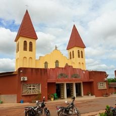
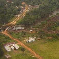
Moyen-Cavally is an administrative region in western Ivory Coast that encompasses several major towns and substantial forested areas across its territory. The area is connected by road networks to neighboring regions and contains multiple distinct communities and administrative centers.
The region was created in 2000 through the division of the former Dix-Huit Montagnes administrative area during a period of national reorganization. It experienced further administrative changes until undergoing reorganization in 2011.
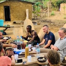
The region is home to several distinct communities, each with their own local practices and ways of life that remain visible in daily routines. These groups maintain strong connections to their immediate surroundings and traditional customs.
The region is reached by road connections that form part of the main network, with major services concentrated in the main administrative city. Visitors should expect that infrastructure outside the main city is less developed, and the dry season offers better travel conditions.
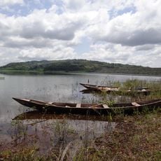
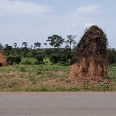
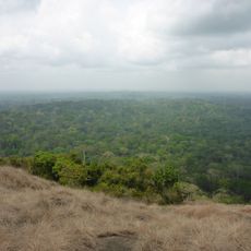
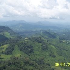
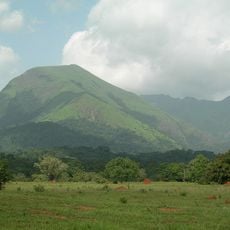
The area is home to multiple protected forest zones that harbor diverse plant and animal life across their wooded expanses. Its position along the Liberian border offers visitors a chance to experience a cross-border landscape where natural ecosystems connect across national boundaries.
The community of curious travelers
AroundUs brings together thousands of curated places, local tips, and hidden gems, enriched daily by 60,000 contributors worldwide.