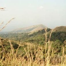
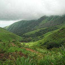
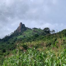
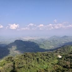
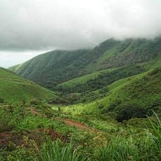
Haut-Sassandra, Administrative region in central Côte d'Ivoire.
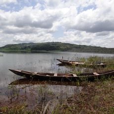
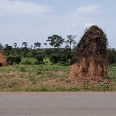
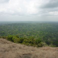
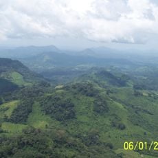
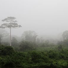
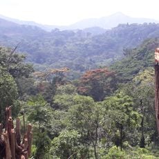
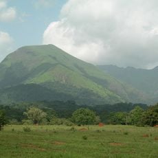
Haut-Sassandra is an administrative region in central Côte d'Ivoire organized into four administrative departments with a major city serving as the capital. The territory includes urban centers and rural areas with varied landscapes and communities.
The region was reorganized in 2000 when one administrative department separated to form a new region. In 2011, it became part of a larger administrative district, reshaping its governance structure.
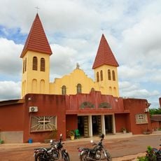
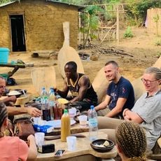
Home to Bété, Gouro, and Baoulé communities, the region shows traditional craftsmanship practices visible in local workshops and daily life throughout its towns and villages.
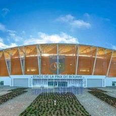
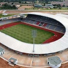
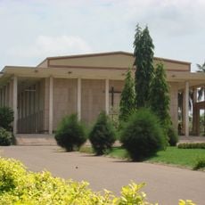
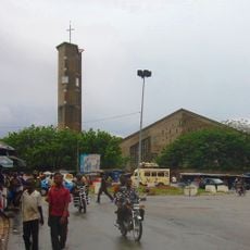
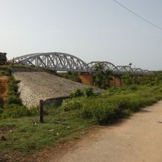
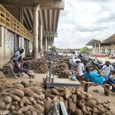
The region comprises several urban areas with active markets and commerce, making it practical to base yourself in the main city and explore surrounding areas from there. Roads connect the main settlements, though traveling between departments may require some planning.
Daloa houses a workshop where craftspeople produce traditional metal swords using time-honored techniques. The area is also home to sacred monkeys that roam freely in protected zones and hold special significance for local communities.
Location: Sassandra-Marahoué District
Capital city: Daloa
Elevation above the sea: 253 m
Shares border with: Worodougou, Marahoué Region, Fromager, Bas-Sassandra Region, Moyen-Cavally, Dix-Huit Montagnes
GPS coordinates: 7.00000,-6.50000
Latest update: December 11, 2025 18:01
Basilica of Our Lady of Peace of Yamoussoukro
134.6 km
Laurent Pokou Stadium
243.4 km
Mount Richard-Molard
221.8 km
Mount Nimba Strict Nature Reserve
219.3 km
Stade de la Paix
177.7 km
Charles Konan Banny Stadium
139.8 km
Lake Kossou
101.9 km
Marahoué National Park
53.6 km
Mont Niénokoué
190.1 km
Mont Tonkpi
135.4 km
Yamoussoukro Cathedral
136.4 km
Centennial Pavilion
247.6 km
St. Teresa of Infant Jesus Cathedral in Bouaké
179.6 km
Pont ferroviaire de Dimbokro
202.4 km
Marché de gros de Bouaké
180.4 km
Les Cascades Naturelles de Man
128.4 km
OAU Memorial Place
247.6 km
Taï National Park
189.8 km
Cathedral of Christ the King of Dalo
14.2 km
Singes sacrés de la Foret Sacrée de Gbepleu
127.1 km
Lac aux Caïmans
136.3 km
Mount Richard-Molard
222.5 km
La Dent de Man
126 km
Mont Tonkoui
135.4 km
Reserva Natural Integral del Monte Nimba
223.4 km
Parc archéologique d'Ahouakro
204.6 km
Groupe scolaire Ganleu
164.9 km
Campement Dent de Man
126 kmVisited this place? Tap the stars to rate it and share your experience / photos with the community! Try now! You can cancel it anytime.
Discover hidden gems everywhere you go!
From secret cafés to breathtaking viewpoints, skip the crowded tourist spots and find places that match your style. Our app makes it easy with voice search, smart filtering, route optimization, and insider tips from travelers worldwide. Download now for the complete mobile experience.
A unique approach to discovering new places❞
— Le Figaro
All the places worth exploring❞
— France Info
A tailor-made excursion in just a few clicks❞
— 20 Minutes