Worodougou, Administrative region in northwestern Côte d'Ivoire.
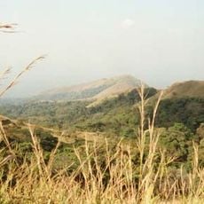
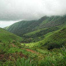
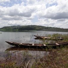
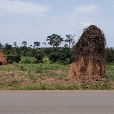
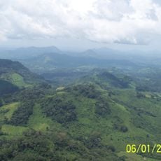
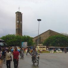
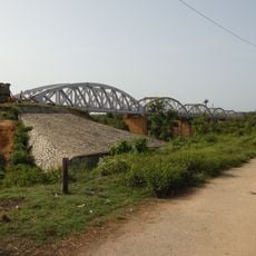
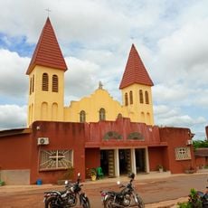
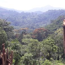
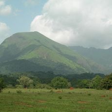
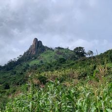
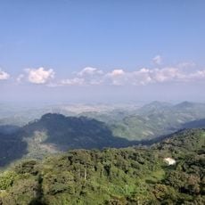
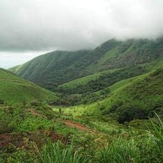
Worodougou is an administrative region in northwestern Côte d'Ivoire comprising two main departments with substantial farmland. The territory contains diverse landscapes and hosts several local administrative centers.
The region was established as an administrative unit in 1997 and underwent territorial adjustments in following years. These changes led to the formation of neighboring administrative regions and shaped the territory's current structure.
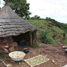
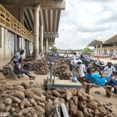
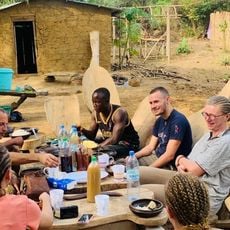
The region is defined by farming communities who grow cocoa, rubber, cashews, and food crops using methods passed down through generations. These agricultural traditions shape how people use the land and live together daily.
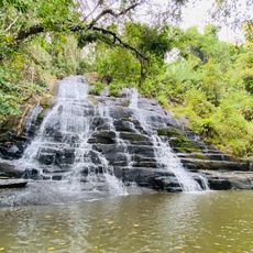
Visitors should know that the territory is mainly rural and should prepare for limited local infrastructure. The best time to explore is during the dry season when roads are more accessible.
The territory is a significant producer of cocoa and coffee alongside diverse livestock farming. This combination of crop and animal production makes it an important agricultural hub for the wider area.
Location: Woroba District
Capital city: Séguéla
Elevation above the sea: 327 m
Shares border with: Savanes Region, Vallée du Bandama Region, Marahoué Region, Haut-Sassandra, Dix-Huit Montagnes, Bafing Region, Denguélé Region
GPS coordinates: 8.50000,-6.33333
Latest update: December 10, 2025 20:04
Basilica of Our Lady of Peace of Yamoussoukro
220 km
Mount Richard-Molard
248.7 km
Mount Nimba Strict Nature Reserve
247.8 km
Stade de la Paix
168.7 km
Charles Konan Banny Stadium
221.4 km
Mount Tenakourou
270.7 km
Lake Kossou
171.2 km
Marahoué National Park
159.5 km
Kong mosque
202.9 km
Mont Tonkpi
185 km
Comoé National Park Research Station
281.6 km
Yamoussoukro Cathedral
219.9 km
Sudanese style mosques in northern Côte d'Ivoire
202.9 km
St. Teresa of Infant Jesus Cathedral in Bouaké
169.8 km
Pont ferroviaire de Dimbokro
274.3 km
Marché de gros de Bouaké
169.7 km
Les Cascades Naturelles de Man
183.7 km
Cathedral of Christ the King of Dalo
180.4 km
Singes sacrés de la Foret Sacrée de Gbepleu
182.3 km
Tisserands traditionnels
126.3 km
Lac aux Caïmans
219.7 km
Mount Richard-Molard
249.8 km
La Dent de Man
177 km
Pics de Sindou
272.9 km
Mont Tonkoui
185 km
Reserva Natural Integral del Monte Nimba
249 km
Groupe scolaire Ganleu
240.3 km
Campement Dent de Man
178.5 kmVisited this place? Tap the stars to rate it and share your experience / photos with the community! Try now! You can cancel it anytime.
Discover hidden gems everywhere you go!
From secret cafés to breathtaking viewpoints, skip the crowded tourist spots and find places that match your style. Our app makes it easy with voice search, smart filtering, route optimization, and insider tips from travelers worldwide. Download now for the complete mobile experience.
A unique approach to discovering new places❞
— Le Figaro
All the places worth exploring❞
— France Info
A tailor-made excursion in just a few clicks❞
— 20 Minutes