Mont Sângbé National Park, National park in northern Ivory Coast.
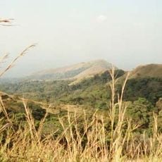
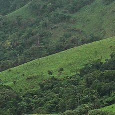
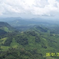
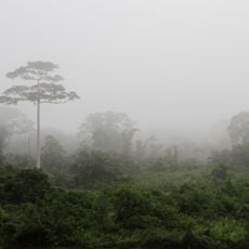
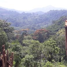
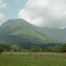
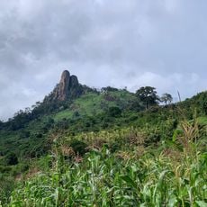
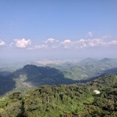
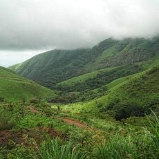
Mont Sângbé National Park covers 95,000 to 97,554 hectares of the Monts du Toura, west of the Sassandra River between Biankouma and Touba. Its terrain holds granitic inselbergs and peaks above 700 m, including 14 summits over 1,000 m. Dense savanna woodland covers most of the park, with small deciduous forest islands and gallery forest; the photograph shows a bare rocky peak of two joined stone columns above green shrub.
Mont Sângbé National Park was created on 19 February 1976 by decree 76-215, converting a state-owned forest into a national park. It is managed by the Ivorian Office of Parks and Reserves and lies across the prefectures of Biankouma, Touba and Séguéla. The Encyclopædia Britannica lists it among the principal national parks of the world.
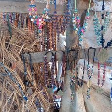
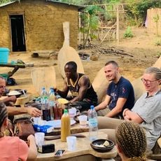
The park lies in the Monts du Toura, west of the Sassandra River, between Biankouma and Touba, and the surrounding villages are home to Toura communities. Visitors who pass through the area can see local dance and music performed in the villages near the park boundaries. The land is farmed and used by these communities, whose settlements sit close to the protected forest and savanna.
The best time to visit is between November and March when the dry season makes hiking and animal viewing easier. During these months the trails are more accessible and wildlife encounters are more likely.
In May 2001, a survey by Herbinger and Lia covered less than 5% of the park and counted 235–260 western chimpanzees, a density of 5.7 per km². The park also shelters the king colobus, sooty mangabey and Diana monkey, and its birdlife includes Baumann's olive greenbul and the emerald starling.
The community of curious travelers
AroundUs brings together thousands of curated places, local tips, and hidden gems, enriched daily by 92,759 contributors worldwide.