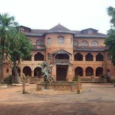
Western High Plateau, Volcanic plateau in Northwest, Cameroon
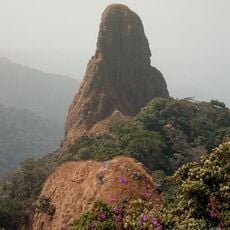
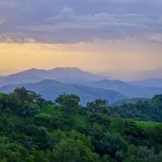
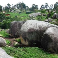
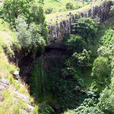
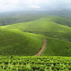
The Western High Plateau spans Cameroon's northwest with rolling terrain rising from 1000 to 2500 meters in elevation. Dormant volcanoes dot the landscape, and stepped terrain patterns mark the land where ancient volcanic forces reshaped the earth.
Volcanic activity along the Cameroon line shaped this plateau millions of years ago during major geological events. The resulting dormant volcanoes and elevated terrain remain as evidence of these ancient forces that continue to define the region.
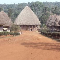
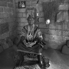
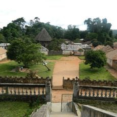
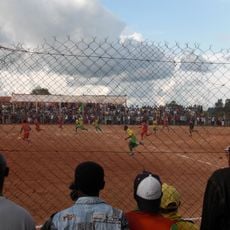
Villages across the plateau rely on agriculture as their main livelihood, with families farming inherited plots using traditional methods. The fertile volcanic soil supports crops like potatoes and cabbage that feed both local communities and distant markets.
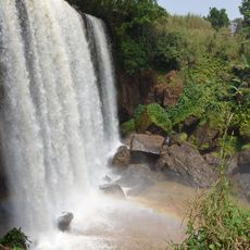
Heavy rain falls for much of the year here, making paths muddy and making it harder to walk across the land. Plan your visit during the dry months when the earth firms up and roads become easier to travel.
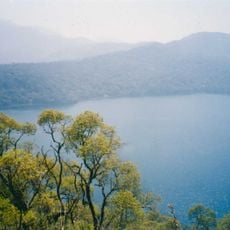
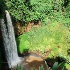
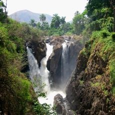
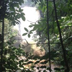
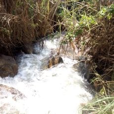
Several major rivers including the Manyu and Nkam start their flow from this plateau and supply water to regions far below. Many travelers pass through without realizing this high ground functions as a major water source for the entire nation.
The community of curious travelers
AroundUs brings together thousands of curated places, local tips, and hidden gems, enriched daily by 60,000 contributors worldwide.