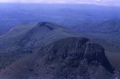
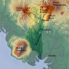
Mbetpit, Volcano and mountain range near Foumbot and Foumban, Cameroon.
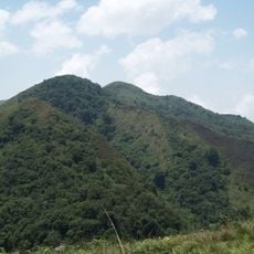
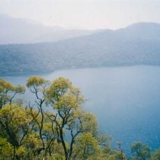
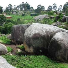
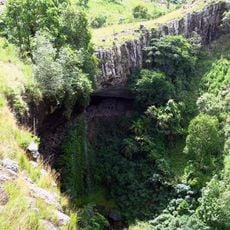
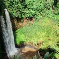
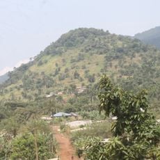
Mbetpit is a volcano and mountain range in Cameroon's West Region that rises to 1,988 meters and features steep crater walls. The crater contains a lake at its base, and the slopes are covered with dense forests home to rare tree species.
The mountain formed through volcanic activity and is part of the active volcanic line running through Cameroon. It gained international attention in the 1940s when it was featured on French postage stamps, highlighting the region's geological significance.
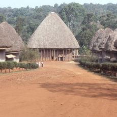
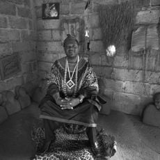
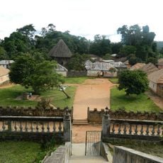
Local communities view the mountain as a place of spiritual importance where people gather for ceremonies and traditional meetings. The slopes support rare plant species that residents have used and valued for many generations.
The mountain is accessible via stairs that lead to a viewpoint at the summit where visitors can see the surrounding landscape. Visitors should prepare for steep paths and check conditions before attempting the climb.
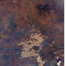
The crater lake is monitored by research stations that track underground activity along the volcanic chain. These facilities help scientists understand how the volcano connects to the broader geological systems beneath Africa.
The community of curious travelers
AroundUs brings together thousands of curated places, local tips, and hidden gems, enriched daily by 60,000 contributors worldwide.