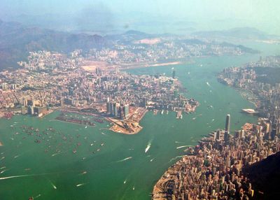
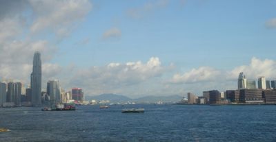
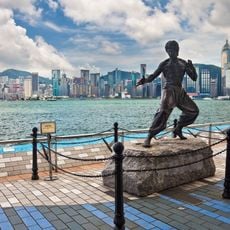
Victoria Harbour, Natural harbor between Hong Kong Island and Kowloon Peninsula, China
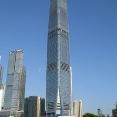
Victoria Harbour is a natural harbor between Hong Kong Island and the Kowloon Peninsula in China, with deep waters stretching over 3 kilometers and forming a central maritime passage. The harbor connects two densely populated shores lined with high-rises, where thousands of ships move daily between terminals and piers.
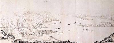
The East India Company conducted the first detailed mapping of the harbor in 1810 to assess its potential for maritime trade. The area became a key British naval base after 1841 and remained a strategic anchorage until the handover of sovereignty to China in 1997.
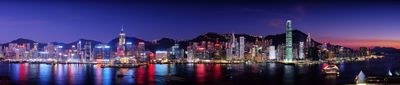
The name honors Queen Victoria from the 19th century, and visitors notice the blend of old Chinese junks with modern speedboats gliding across the water everywhere along the shores. Local fishermen sell their morning catch at the wharves while commuters board ferries that have run the same routes for over a century.
Three underwater tunnels and four metro lines connect the island to the mainland, so visitors can move between both sides easily. The best time to visit is early evening when daylight fades and the lights along the shores begin to glow.
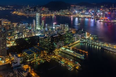
The harbor processes over 220,000 vessels annually through its Kwai Chung Container Terminal and ranks among the busiest ports worldwide. Despite this enormous activity, traditional houseboats still float in quieter corners where families have lived on the water for generations.
The community of curious travelers
AroundUs brings together thousands of curated places, local tips, and hidden gems, enriched daily by 60,000 contributors worldwide.