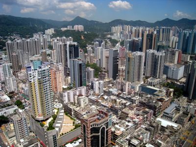
Tsuen Wan, Urban district in New Territories, Hong Kong
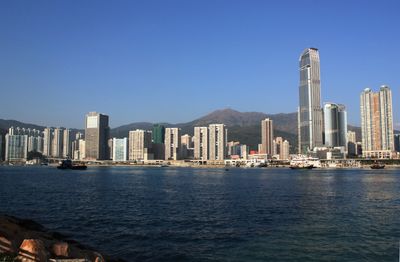
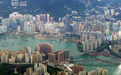
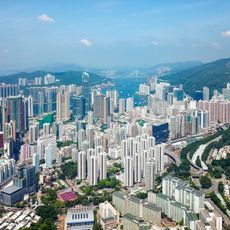
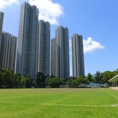
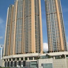
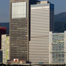
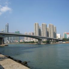
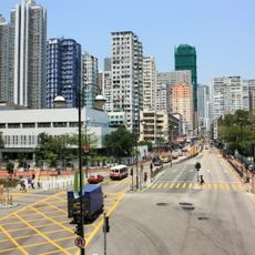
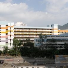
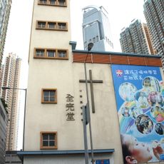
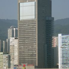
Tsuen Wan is an urban district in Hong Kong's New Territories with residential buildings, shopping centers, and green areas bordered by the Tai Mo Shan mountain range. The area mixes modern development with natural surroundings and provides both urban convenience and open spaces.
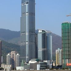
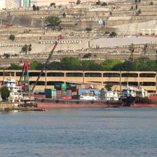
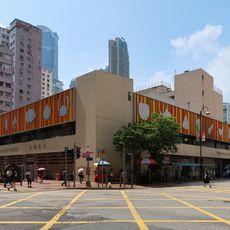
The area began as a fishing village and became an industrial hub after a major road opened in the early 20th century. This rapid transformation made it a center of economic growth and manufacturing.
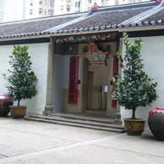
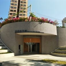
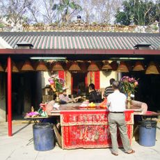
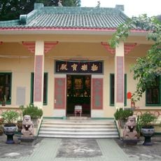
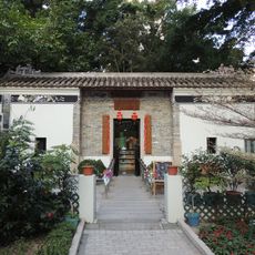
The Sam Tung Uk Museum displays how people lived in a traditional Hakka village, with everyday tools, furniture, and rooms arranged as they once were. Visitors can walk through spaces that show the customs and practical life of earlier generations.
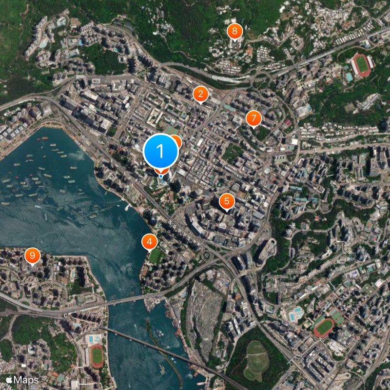
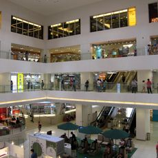
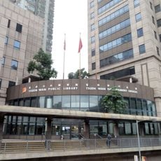
The area is well connected by public transportation, including train stations, bus lines, and ferry services that are easy to reach on foot. Visitors should plan time to explore, as the district is large with different neighborhoods to discover.
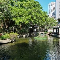
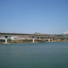
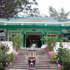
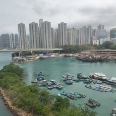
The location is home to part of Hong Kong's tallest mountain, which offers hiking trails and nature reserves. The mix of mountain access and urban surroundings makes it special for visitors seeking both wilderness and city life.
The community of curious travelers
AroundUs brings together thousands of curated places, local tips, and hidden gems, enriched daily by 60,000 contributors worldwide.