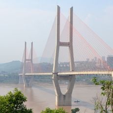
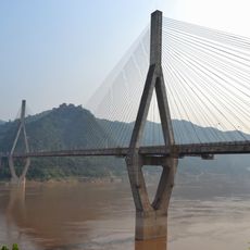
Wu River, Major river system in Guizhou and Chongqing, China
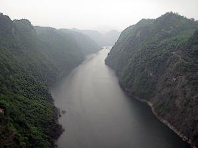
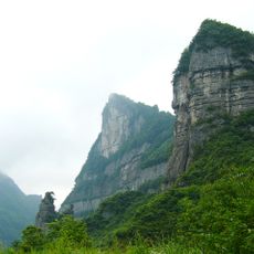
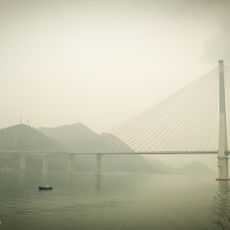
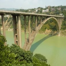
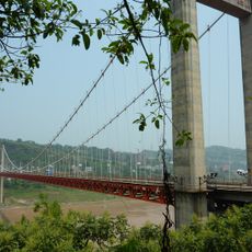
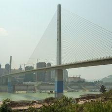
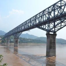
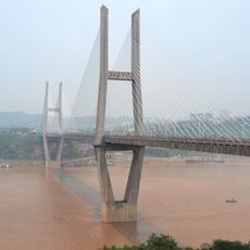
The Wu River is a major waterway that extends for about 1,150 kilometers through narrow gorges between steep rocky cliffs, flowing eastward from western Guizhou before turning north into Chongqing municipality. The water cuts through deeply carved valleys with sharp bends that follow the natural terrain of the mountainous landscape.
The river system supported early settlements that later developed into important trading routes. The town of Fuling became the major administrative center and served as the capital of the ancient Ba state.
The river shapes daily life in surrounding villages, where traditional fishing practices and boat travel remain central to how people move and work. The steep banks and narrow gorges have influenced local architecture and settlement patterns for generations.
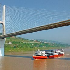
Modern improvements made since the middle of the 20th century have made it possible to navigate much of the river by motorized boat, especially along the first 480 kilometers from the west. Visitors should be aware that the narrow gorges can create strong water turbulence, particularly during the rainy season.
The river system was transformed in the second half of the 20th century by the construction of several dams, including the Wujiangdu dam standing 163 meters high. This infrastructure generates electricity for surrounding regions and permanently altered water levels and flow patterns.
The community of curious travelers
AroundUs brings together thousands of curated places, local tips, and hidden gems, enriched daily by 60,000 contributors worldwide.