
Sai Wan, constituency of the Central and Western District Council of Hong Kong
Location: Central and Western District
Inception: 1994
GPS coordinates: 22.28770,114.13600
Latest update: April 3, 2025 02:24
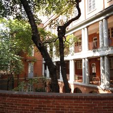
King's College
552 m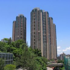
The Belcher's
312 m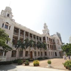
Main Building of the University of Hong Kong
434 m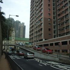
Bonham Road
731 m
Lo Pan Temple
666 m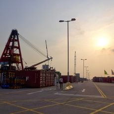
Western District Public Cargo Working Area
319 m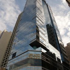
Island Pacific Hotel
679 m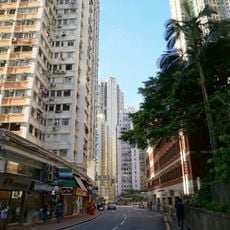
Belcher's Street
809 m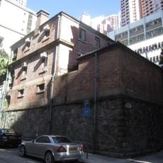
Eastern Street Methadone Clinic
816 m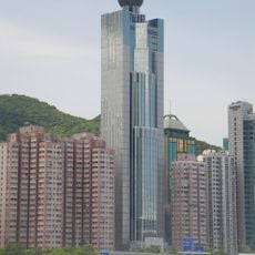
The Westpoint
392 m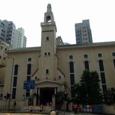
St. Anthony's Church
329 m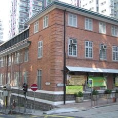
Old Tsan Yuk Maternity Hospital
553 m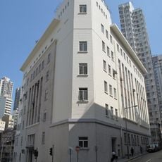
Western Magistracy
483 m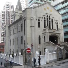
Kau Yan Tsung Tsin Church
558 m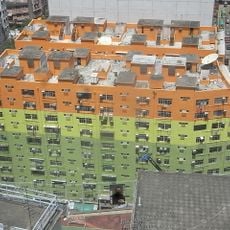
Western Court
253 m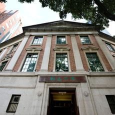
University Museum and Art Gallery
543 m
Hung Hing Ying Building
396 m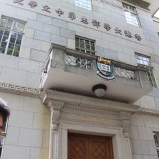
Tang Chi Ngong Building
616 m
207 Des Voeux Road West
642 m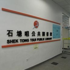
Shek Tong Tsui Public Library
220 m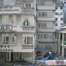
Caritas Ling Yuet Sin Kindergarten
477 m
Stephen Hui Geological Museum
575 m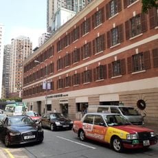
Po Leung Kuk Chan Au Big Yan Home for the Elderly
450 m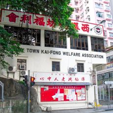
Kennedy Town Kai-Fong Welfare Association
636 m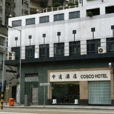
COSCO Hotel, Hong Kong
465 m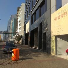
Sun Museum
596 m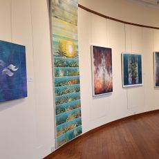
The University of Hong Kong
612 m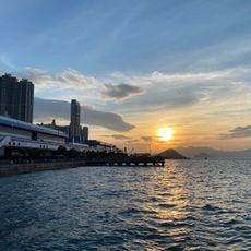
Western District Public Cargo Working Area
420 mReviews
Visited this place? Tap the stars to rate it and share your experience / photos with the community! Try now! You can cancel it anytime.
Discover hidden gems everywhere you go!
From secret cafés to breathtaking viewpoints, skip the crowded tourist spots and find places that match your style. Our app makes it easy with voice search, smart filtering, route optimization, and insider tips from travelers worldwide. Download now for the complete mobile experience.

A unique approach to discovering new places❞
— Le Figaro
All the places worth exploring❞
— France Info
A tailor-made excursion in just a few clicks❞
— 20 Minutes