新甸鎮
Location: Xiuyan Manchu Autonomous County
GPS coordinates: 40.09205,123.12331
Latest update: March 18, 2025 13:13
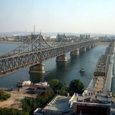
Sino-Korean Friendship Bridge
108.1 km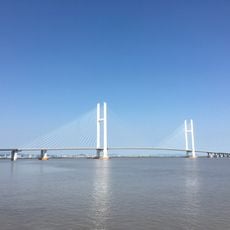
New Yalu River Bridge
105.8 km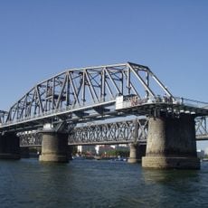
Yalu River Broken Bridge
108 km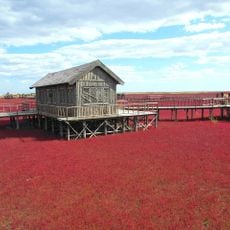
Red Seabeach
142.3 km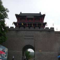
Hushan Great Wall
119.3 km
Jehol Biota
141.5 km
Dalian Development Area
162.9 km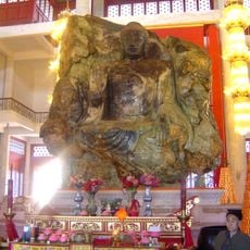
Anshan Jade Buddha
112.5 km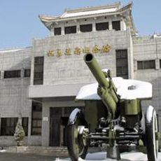
Memorial of the War to Resist US Aggression and Aid Korea
105.8 km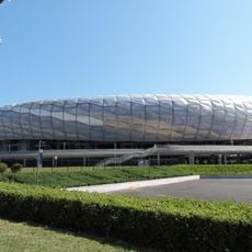
Dalian Sports Center
179.3 km
Dongjingcheng City Ruins
131.6 km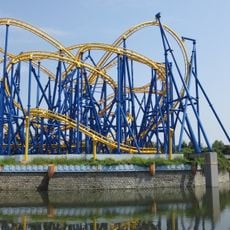
Dalian Discovery Kingdom
148.2 km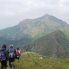
Dahei Mountain
159.8 km
Jinniushan man
79.6 km
Hushan Zhen (munisipyo sa Republikang Popular sa Tsina)
123.3 km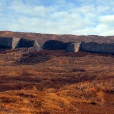
Yanzhou Village
137.9 km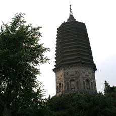
White Pagoda
131.9 km
一歩跨
119.6 km
Pu He
145.2 km
Bingyu Valley
18 km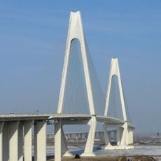
Liaohe Bridge
104.2 km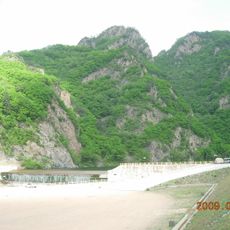
Guanmenshan (Benxi)
145.7 km
Tiejia Shuiku
87 km
Jiulong Shuiku (tubiganan sa Republikang Popular sa Tsina, Liaoning Sheng)
128.3 km
Sha He
86 km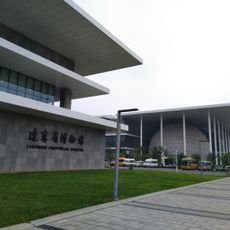
Liaoning Provincial Museum
178.8 km
Maxishan Shuiku
117.7 km
Kŭmgang-jŏsuji
129.7 kmReviews
Visited this place? Tap the stars to rate it and share your experience / photos with the community! Try now! You can cancel it anytime.
Discover hidden gems everywhere you go!
From secret cafés to breathtaking viewpoints, skip the crowded tourist spots and find places that match your style. Our app makes it easy with voice search, smart filtering, route optimization, and insider tips from travelers worldwide. Download now for the complete mobile experience.

A unique approach to discovering new places❞
— Le Figaro
All the places worth exploring❞
— France Info
A tailor-made excursion in just a few clicks❞
— 20 Minutes