
草市鎮
Location: Qingyuan Manchu Autonomous County
GPS coordinates: 42.29544,125.22530
Latest update: March 22, 2025 05:10
Gwanggaeto Stele
152.2 km
Mukden Palace
156.9 km
Fushun War Criminals Management Centre
118.6 km
Capital Cities and Tombs of the Ancient Koguryo Kingdom
149.8 km
Zhao Mausoleum
157.1 km
Fuling Tomb
145.1 km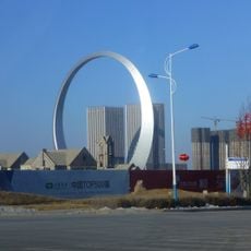
Ring of Life
138 km
Imperial Palaces of the Ming and Qing Dynasties in Beijing and Shenyang
157.2 km
Yongling Mausoleum
74.4 km
Hwando
147.8 km
Wunü Mountain
109 km
Marshal Zhang's Mansion
156.4 km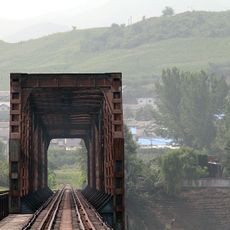
Ji'an Yalu River Border Railway Bridge
153.8 km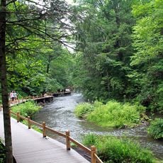
Longwanqun National Forest Park
97.4 km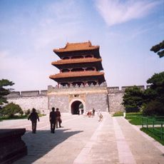
Beiling Park
157.5 km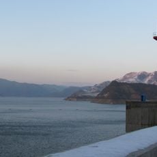
Unbong Dam
147.6 km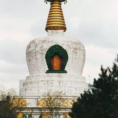
Huguo Falun Temple
156 km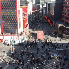
Zhongjie
156.2 km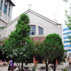
Dongguan Church
155.6 km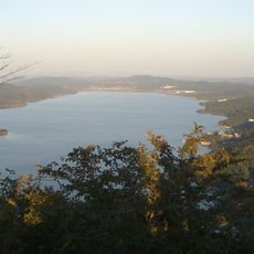
Qipanshan International Scenery and Tourism Development Zone
134.3 km
Huanren reservoir
112.9 km
Ancient Tombs on the Donggou River
149.8 km
Guanmenshan (Benxi)
156.4 km
护国永光寺
152.5 km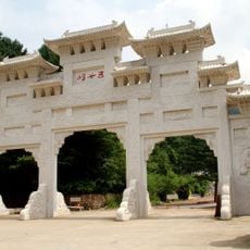
Wunü Peaks National Forest Park
135.7 km
Erlongshan Shuiku
105.9 km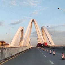
伯官大桥
141.5 km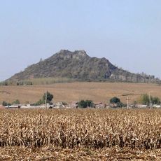
西尖山
117.4 kmReviews
Visited this place? Tap the stars to rate it and share your experience / photos with the community! Try now! You can cancel it anytime.
Discover hidden gems everywhere you go!
From secret cafés to breathtaking viewpoints, skip the crowded tourist spots and find places that match your style. Our app makes it easy with voice search, smart filtering, route optimization, and insider tips from travelers worldwide. Download now for the complete mobile experience.

A unique approach to discovering new places❞
— Le Figaro
All the places worth exploring❞
— France Info
A tailor-made excursion in just a few clicks❞
— 20 Minutes