
禾洞农林场
Location: Lianshan Zhuang and Yao Autonomous County
GPS coordinates: 24.76348,112.08169
Latest update: March 7, 2025 12:47
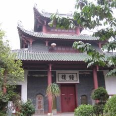
Nanhua Temple
157.2 km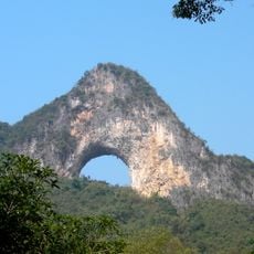
Moon Hill
163.3 km
Lingqu
169.2 km
Chishi Bridge
140.5 km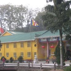
Yunmen Temple
124.1 km
Shikengkong
93.6 km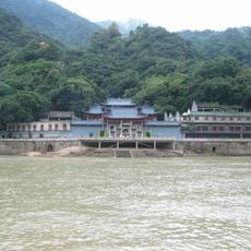
Feilai Temple (Qingyuan)
161.4 km
广东北江中学
152 km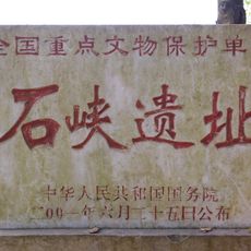
Shixia Site
151.8 km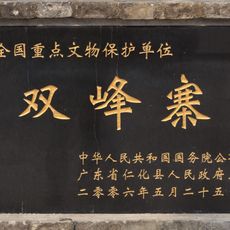
Shuangfeng Zhai
154.9 km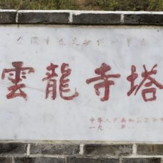
Pagoda of Yunlong Temple
158.2 km
Yangmingshan National Forest Park
145.6 km
Liuzi Temple
169.3 km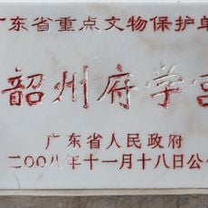
Shaozhou Confucian Temple
152.9 km
恭城古建筑群
127.5 km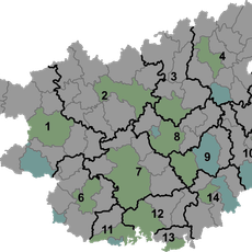
峻山水库
135.4 km
Gaoting
167.8 km
长湖水库
156.8 km
Tanling Shuiku
61.6 km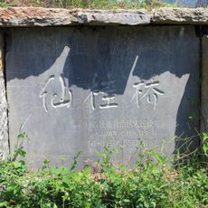
Xiangui Bridge
167.9 km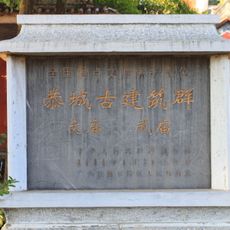
Gongcheng Confucian Temple
127.6 km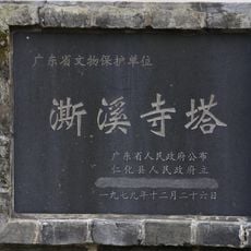
Pagoda of Sixi Temple
158.7 km
Gongcheng Emperor Guan Temple
127.6 km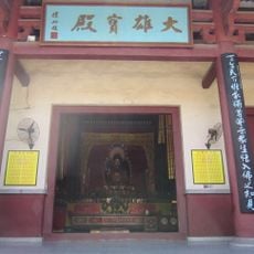
Jianshan Temple
161.2 km
Huashan Reservoir
99.4 km
Shuangdao Reservoir
123.2 km
Cathédrale de Wuzhou
163.3 km
Cave Wonderland
106.5 kmReviews
Visited this place? Tap the stars to rate it and share your experience / photos with the community! Try now! You can cancel it anytime.
Discover hidden gems everywhere you go!
From secret cafés to breathtaking viewpoints, skip the crowded tourist spots and find places that match your style. Our app makes it easy with voice search, smart filtering, route optimization, and insider tips from travelers worldwide. Download now for the complete mobile experience.

A unique approach to discovering new places❞
— Le Figaro
All the places worth exploring❞
— France Info
A tailor-made excursion in just a few clicks❞
— 20 Minutes