Bönnigheim, municipality in Germany
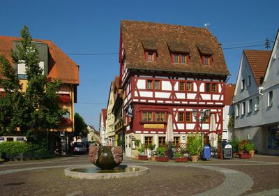
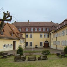
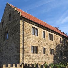
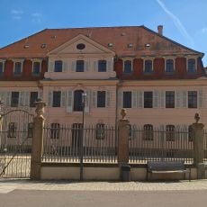
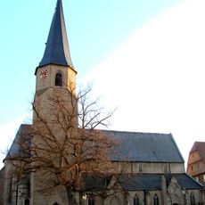
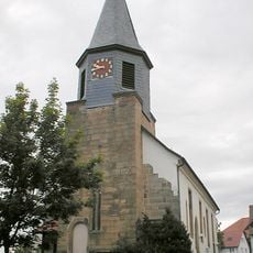
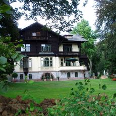
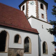
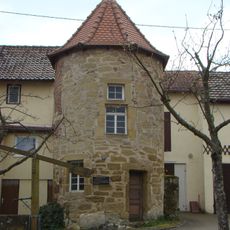
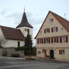
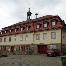
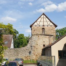
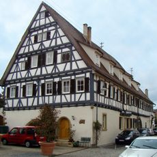
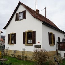
Bönnigheim is a small town in the Ludwigsburg area with half-timbered houses and medieval streets that maintain a consistently historical appearance. It includes several museums, notably the Museum Charlotte Zander with an important collection of outsider art, along with the Ganerbenburg castle at its center and the Cyriakuskirche church with its distinctive tall architecture.
Bönnigheim developed as a settlement with ancient roots, and the Ganarbenburg castle demonstrates its strategic importance during the medieval period. The town later became an important center for regional crafts and cultural traditions.
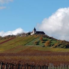
The name Bönnigheim reflects its roots as an early settlement, and the town remains proud of its wine-growing heritage. In the narrow streets and small squares, you can see how residents gather at traditional wine taverns, share meals, and celebrate local festivals together.
The town is easy to explore on foot, as most sights are located near each other in the city center and accessible via cobblestone streets. Hotels and guest houses offer overnight accommodation, and local restaurants and wine taverns allow you to explore the area at your own pace.
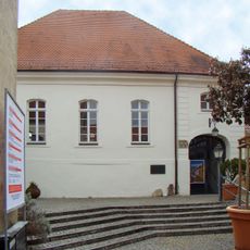
The Museum Charlotte Zander holds one of the world's largest collections of art brut and outsider art, showcasing works by self-taught and autodidactic artists. This collection makes the town an unexpected center for modern and contemporary art that stands apart from its medieval architecture.
The community of curious travelers
AroundUs brings together thousands of curated places, local tips, and hidden gems, enriched daily by 60,000 contributors worldwide.